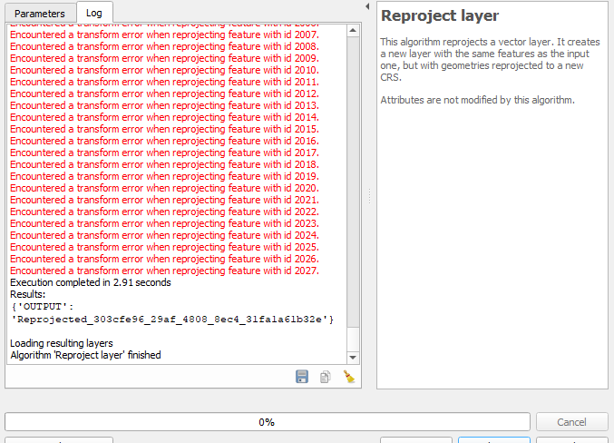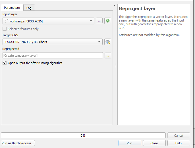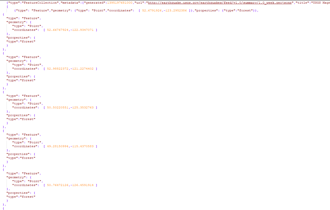
 I am dragging and dropping this GeoJSON file into QGIS but for some reason I cannot reproject it from WGS 84 (EPSG:4326). It remains at the original LAT/LONG even in a new project where UTMs are expected.
-
GeoJSON uses 4326, period. If the cords are not WGS84 geographic, it's not a conforming GeoJSON.– VinceCommented Sep 19, 2019 at 0:25
-
What steps exactly did you use to reproject? What format are you outputting? Can you edit your question and link to the actual data?– user2856Commented Sep 19, 2019 at 0:27
-
discoursemedia.org/discourse-interactive/workcamp-map/…– jimarchitectureCommented Sep 19, 2019 at 4:07
-
I am dragging and dropping the json file into QGIS. Not sure what you mean by output. I just want the data projected correctly in QGIS. I am looking to reproject it to BCAlbers 3005, but just getting it to import correctly into 4326 would be a start.– jimarchitectureCommented Sep 19, 2019 at 4:10
-
@vince GeoJSON doesn't use EPSG:4326 it uses CRS:84 (different axis order)– nmtokenCommented Sep 19, 2019 at 10:36
Add a comment
|
1 Answer
According to the GeoJSON specification https://www.rfc-editor.org/rfc/rfc7946#page-7 the coordinates should be in order lon lat. Your data seems to have order lat lon.

