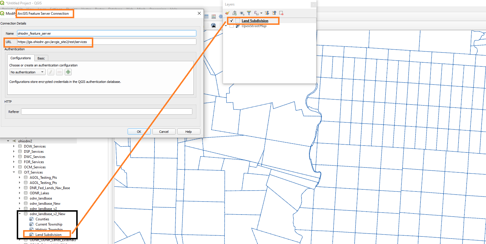
I need to perform a point in polygon analysis in QGIS on parcel data from an Ohio Department Resources MapServer: https://gis.ohiodnr.gov/arcgis_site2/rest/services/OIT_Services/odnr_landbase_v2/MapServer
The parcel layer will load as a MapServer layer, but fails when trying to load it as a Feature Server layer. The other layers from the server will load as a FeatureServer layer. This is the error I get when trying to load it as a feature server:
Layer is not valid : The layer crs='EPSG:3857' filter='' url='https://gis.ohiodnr.gov/arcgis_site2/rest/services/OIT_Services/odnr_landbase_v2/MapServer/4' table="" sql= is not a valid layer and can not be added to the map. Reason: AFSProvider getObjectIds failed: Network error - Operation canceled
Loaded as MapServer layer, I can use the identify features tool to view the attributes of each parcel individually. However, whenever I attempt to perform any functions with the raster, I get the following error:
ERROR 4: ` crs='EPSG:3857' format='PNG32' layer='4' url='https://gis.ohiodnr.gov/arcgis_site2/rest/services/OIT_Services/odnr_landbase_v2/MapServer' table="" sql='
does not exist in the file system, and is not recognized as a supported dataset name.
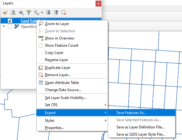
Ideally, I'd like to convert the raster to vector then use it in a point in polygon analysis. Any ideas?


