2

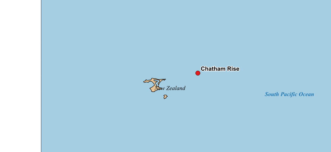
I want to make a map of marine sampling locations for a study, and in this context show some bathymetric profiles. So in my map I have shapefiles from NaturalEarth as well as GeoTIFF bathymetry data. One location I am interested in is the Chatham Rise, and its location unfortunately extends over the edge of the map in my case:

enter image description here

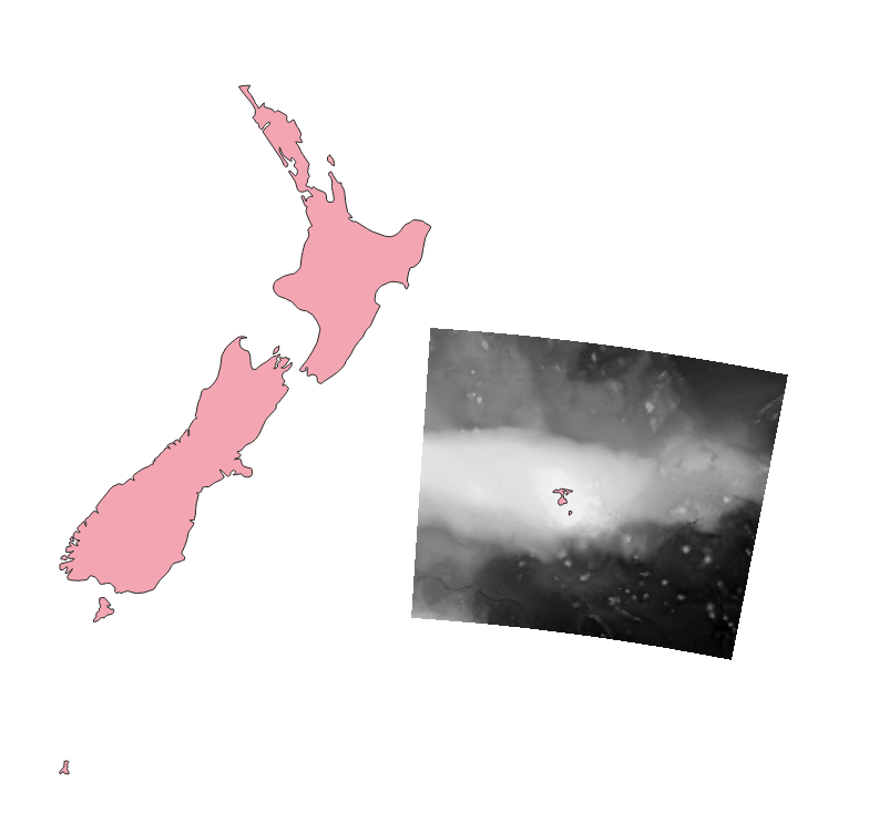
Can I somehow achieve, that the out of bounds part of the image is "wrapped around to the other side" of the map? The left edge of the map shows my actual sampling location:

enter image description here

Or will I have to specify a different projection to achieve what I am trying to do? At the moment I have no projection selected at all.

12
  • Is that bathymetry image georeferenced? It is unclear, where the image should be placed and where it is placed right now, as well as the actual extent of the image.
    – Erik
    Commented Apr 7, 2020 at 9:02
  • I have no idea to be honest. I haven't done anything with GIS since one course in undergrad. How would I find out? The extent roughly fits the actual location. I have uploaded the tif file here. I have two other tiff files downloaded and imported the same way, which display in the correct locations (Mediterranean), so I guess they are referenced?
    – flurble
    Commented Apr 7, 2020 at 9:10
  • If your data doesn't overlap spatially, changing the projection isn't going to help
    – nmtoken
    Commented Apr 7, 2020 at 9:14
  • So what would be the next step? Georeferencing the image? Downloading the data in netcdf instead?
    – flurble
    Commented Apr 7, 2020 at 9:15
  • Use GDAL to find out what projection the GeoTIFF is (you have it if you have QGIS installed).
    – nmtoken
    Commented Apr 7, 2020 at 9:16

1 Answer 1

3

You need a projection that places the focus on New Zealand.

  1. Set the Project CRS to EPSG:3851 (Project > Properties... > CRS)
  2. Reproject the bathymetry tif to EPSG:3851 (Raster > Projections > Warp (Reproject)...)

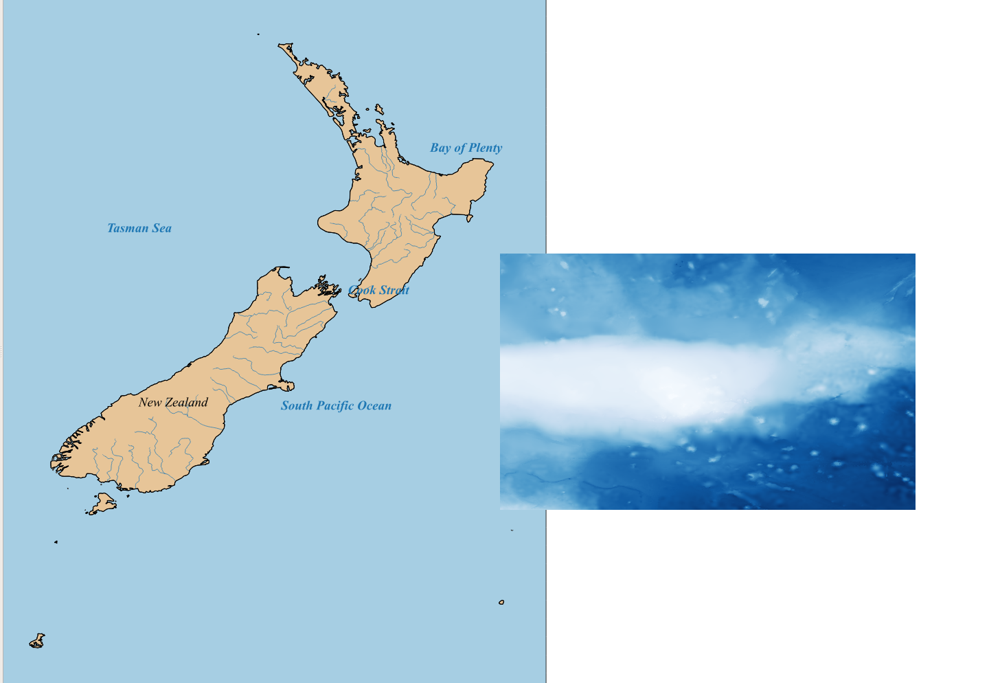
Here is the result:

QGIS screenshot depicting New Zealand in EPSG:3851 with reprojected bathymetry tif

2
  • Thats what I wanted, thanks. So changing the projection is what I needed to do. I also have other locations like this that are very far away (France for example). Is there a projection that would be suited for this as well as for very distant places? Or would I be ebtter off creating multiple maps iwth a fitting projection for each?
    – flurble
    Commented Apr 7, 2020 at 16:53
  • The New Zealand projection places New Zealand in the center. All other countries are distorted and rotated. For France use a national projection as well. Commented Apr 8, 2020 at 12:38

Your Answer

By clicking “Post Your Answer”, you agree to our terms of service and acknowledge you have read our privacy policy.

Not the answer you're looking for? Browse other questions tagged or ask your own question.