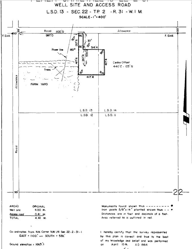
I'm having difficulty adding land survey information to QGIS. What I need to do is add the survey boundaries of oil and gas leases, so that I can overlay additional data associated with land reclamation activities. There are legal land surveys available for all oil and gas leases in Saskatchewan, Canada. I've attached an example for reference. What I want to know is how to draw this lease and access road accurately. There are no absolute coordinates available, just a statement such as: Co-ordinates from NW corner NW1/4 Sec. 22-2-31-1. East = 1100' - South = 535'. Is there a cadastre source available so you can measure from the corner of the quarter section east and south and find the well centre? If that works, how do you ensure the orientation of the lease is accurate, i.e. If I'm Working in NAD83 UTM zone 13N, all of the roads aren't running 100% north / south or east/west, they are at about 3% tilt. Basically I need to be able to reproduce this survey in QGIS, i'm wondering the proper way to do it. Is there a public data set, or drafting procedure that would help me?
1 Answer
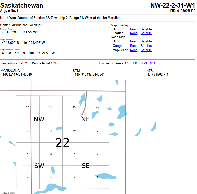
Use the KML and download from
using the Saskatchewan Township feature service
https://gis.saskatchewan.ca/arcgis/rest/services/Cadastre/FeatureServer/0
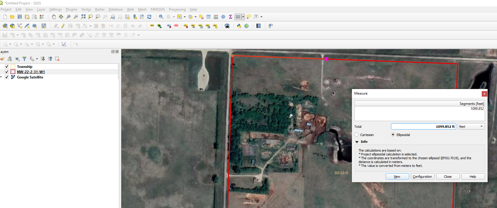
Then set your data to UTM-14 and you can measure 1100ft from the Road as in the Well Site Survey.
This can be then used to as the base point capture (digitise) the site with the measurements off the survey. Trust the survey data rather than the imagery you see on google satellite or bing (old and stretched in places)


