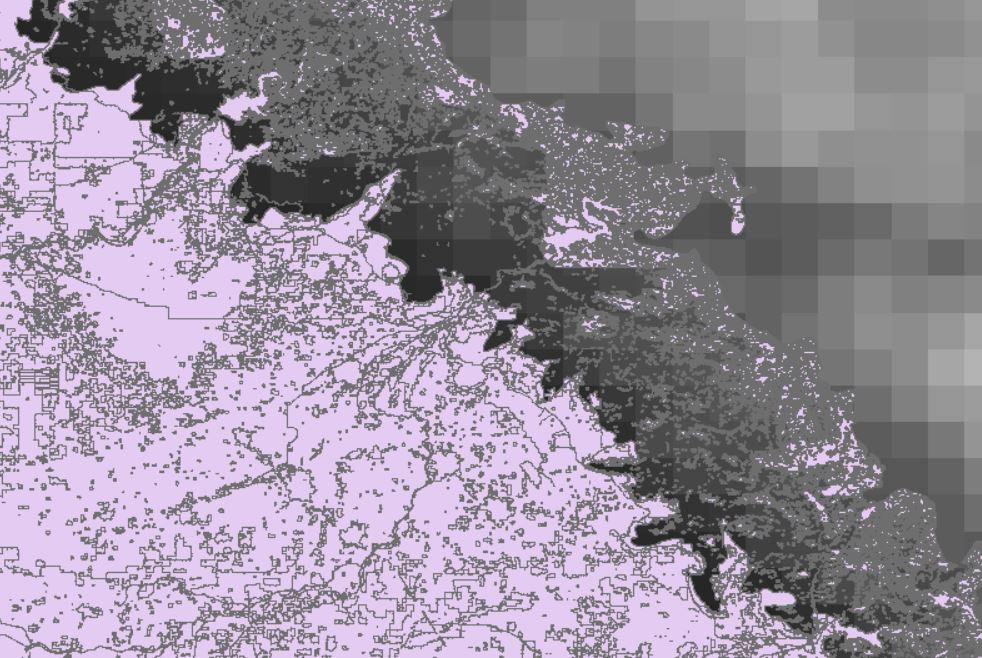
I want to calculate the mean precipitation from a PRISM raster for a land use data layer using the Zonal statistics as table tool for ArcGIS 10.7. The land use vector layer contains over 20,000 polygon features, the majority of which are smaller than the PRISM raster cells. The PRISM Precipitation raster is 4 km (source data includes cell size = 0.04167 sq decimal degree units).
 Both raster and vector layers are in the same coordinate system. What I input to the Zonal statistics as table tool:
Input feature zone data: Land use layer
Zone field: ObjectID
Input value raster: PRISM raster
Statistics Type: Mean
Raster Analysis > Cell size: Maximum of Inputs
The result is a zonal statistics table with about 700 records instead of the 20,000 records I would expect based on the ObjectID field I set as the zone field. The tool is only calculating zonal statistics for a subset of land use features, or a single feature of many that fit inside the 4km raster cell.
My thought is that I need to define the cell size in the raster analysis setting to a smaller cell size so that every land use feature is assigned a raster cell. I am not sure how to do this correctly, so that each raster cell is assigned to all land use polygons that fall within its area. Would this be set to Minimum of inputs, or a cell size smaller than 1? Also wondering if I need to convert units, or use the snap raster setting?
