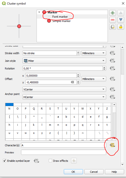
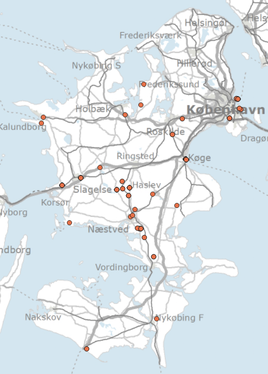
Open your symbology menu and click on your cluster symbol:

Now click on 'Font Marker' and scroll down to 'Character(s)':

Edit the data defined override and insert this expression, if your points perfectly overlap (if they dont see below):
aggregate( @layer_name,'sum',"value",filter:=intersects($geometry,geometry(@parent)))
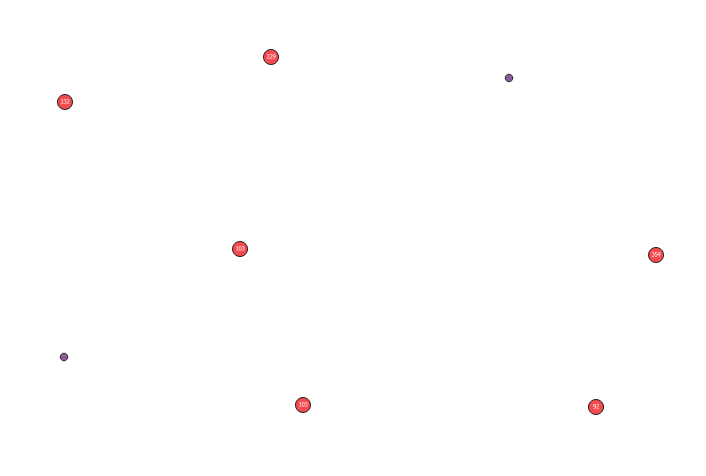
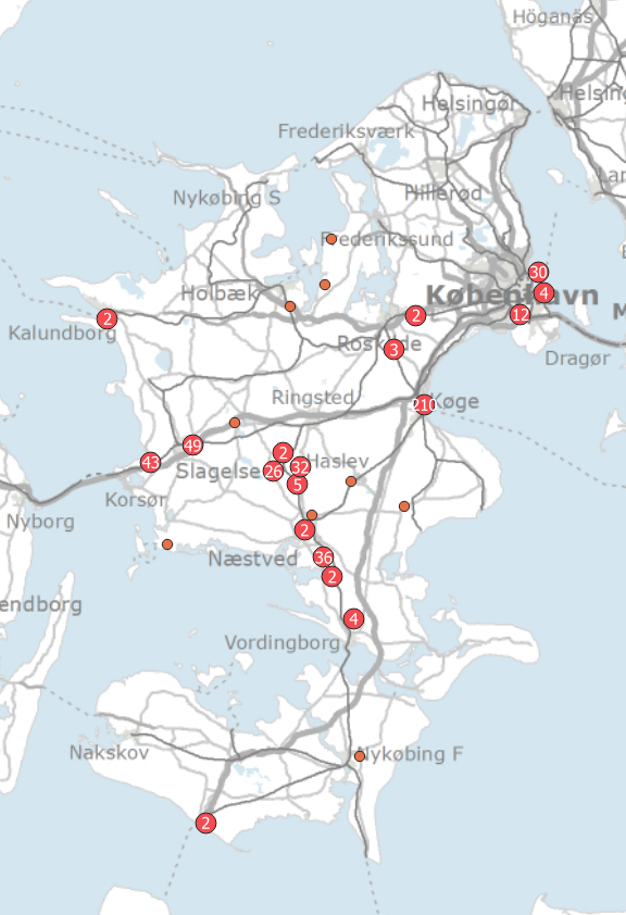
Change "value" to the name of the field you want the sum of. The result:

If they do not perfectly overlap, you need to use a buffer or similar. Like aggregate( @layer_name,'sum',"value",filter:=intersects(buffer($geometry,200),geometry(@parent))). Note that the buffer size (here 200) is in CRS units of your layer.
As buffer function use map unit for calculation, you need to use map unit in cluster distance value. Doing that, your clusters stay the same independently of the map scale. So, if you want clusters that's adapt to map_scale. Supposing your map unit is meter, set your cluster distance value unit at millimeters and change the expression like this:
aggregate( @layer_name,'sum',"value",filter:=intersects(buffer($geometry,"cluster_distance"/1000*@map_scale),geometry(@parent)))
Unfortunately just using sum("value",@cluster_size) does not work and just returns the overall sum of all features. Was hoping this could avoid using a buffer and therefore would always be the same as the actual cluster size. But nope.
Of course you could also use these expressions for simple lables instead of displaying it at the cluster sizes space.


