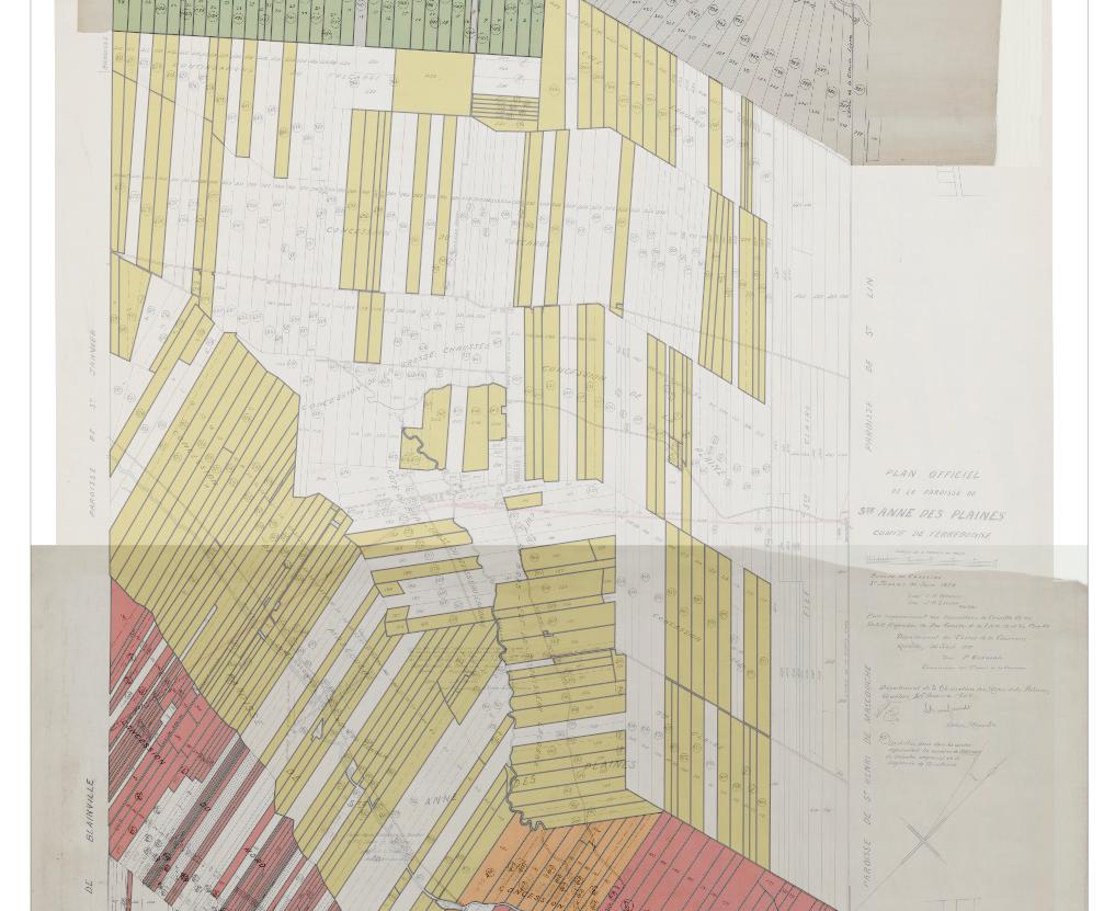
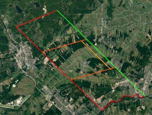
I am making a map from a raster that obviously has not geographic coordinates. I plan to eventually put my digital map on a world map like OpenStreepMap with the correct scale and positions.

I already know the exact coordinates where this map should appear. I know where my map would fit in.
I was wondering if it was possible to adjust QGIS coordinate system and orientation by using two points for which I would provide the geographic coordinates. Also the map is not oriented towards the north but has an angle of 11° 40' from it, this is why I would want to use two points, so the grid would also have the correct orientation.

