1

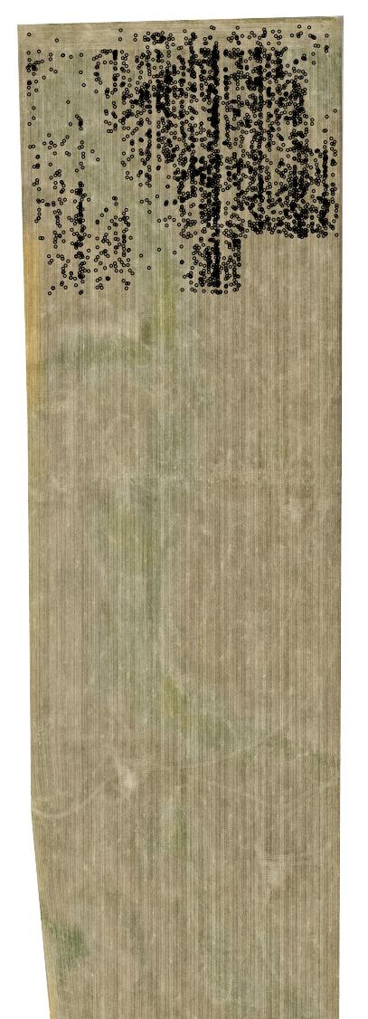
I would like to reopen/look again at this question. I have a aerial raster file with a vector file over the top indicating specific points on the ground. I created my map, set the rotation to zero, not using WMS-layers, toggled the transparency, exported multiple times; the output PDF file continues to loose written data. The raster looks good, but the shapefile only shows up on the top half.

Has anyone else ran into this problem?

QGIS raster background with red points. enter image description here
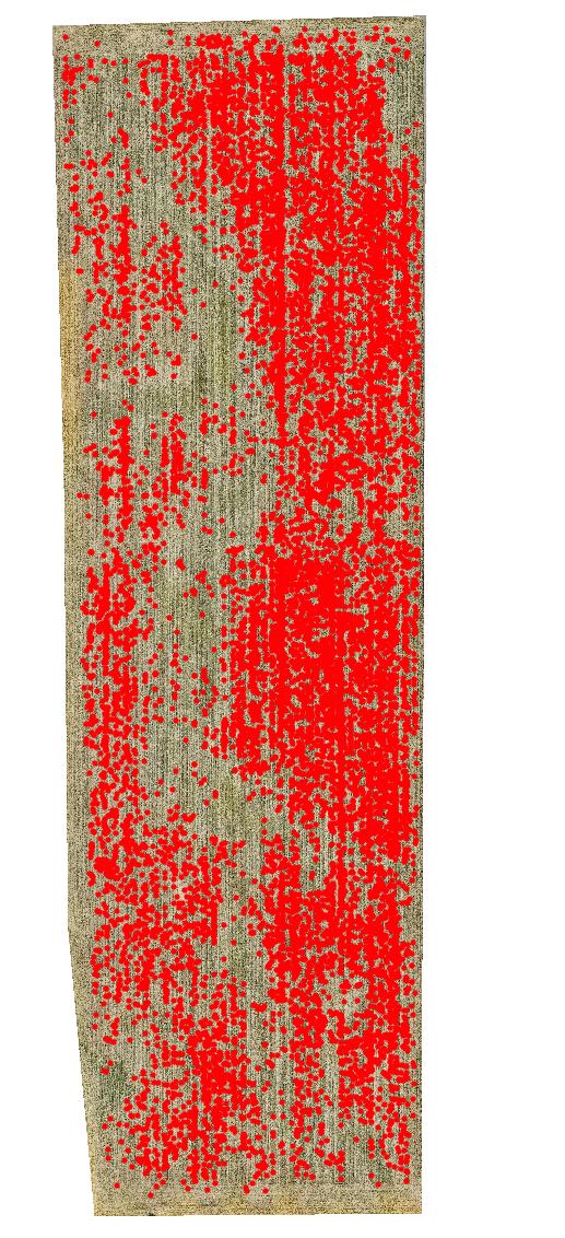
Exported Geo-referenced PDF

enter image description here

12
  • I just tried printing a geospatial PDF, using QGIS 3.14.1-Pi. the data sources were an ECW and Geopackage layer, I wasn't able to replicate the problem...…. Can you try saving your shapefile data as a geopackage layer? The problem almost seems to be that the PDF printing can't access the shapefile data fast enough.
    – nr_aus
    Commented Aug 18, 2020 at 4:03
  • I tried using the Geopackage layer, but it did not work. Same output. I also tried using a clipped and compressed version of my raster since the original is just over 10GB. I've had similar problems before sometimes and just have either tried again or restarted QGIS. None of these methods have worked yet.
    – Binx
    Commented Aug 18, 2020 at 14:50
  • I tried exported without Geo-referencing and that worked. However, I do need a geo-referenced map.
    – Binx
    Commented Aug 18, 2020 at 19:42
  • Could it be the coordinate system? maybe the PDF geo-referencing process doesn't understand your coordinate system, maybe try with a generic coord system?
    – nr_aus
    Commented Aug 19, 2020 at 1:45
  • 1
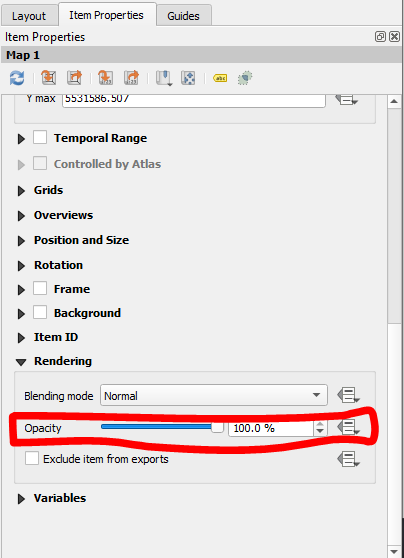
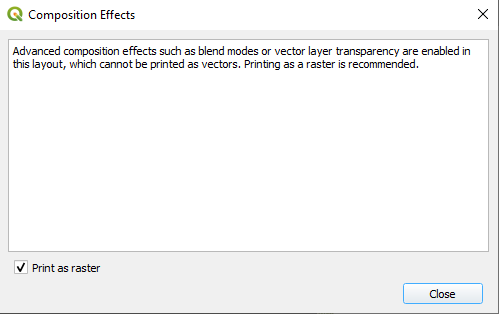
    It's the opacity of the entire map. So the raster layer with the shapefile above. There is a warning box that appears talking about Composition Effects. I updated my answer with a picture.
    – Binx
    Commented May 3, 2021 at 15:38

1 Answer 1

1

After coming back to this problem, I was able to determine a cause, though I am not sure why. In the map properties I adjusted the Opacity to 50% and saved, it worked. A box will appear letting you know there will be some composition effects. I do not believe this causes any issues with GeoReferencing, but I could be wrong. I then changed back to 100% and it worked. I hope this will help someone else in the future!

enter image description here

enter image description here

1
  • 1
    Interesting.... Commented Apr 30, 2021 at 21:05

Your Answer

By clicking “Post Your Answer”, you agree to our terms of service and acknowledge you have read our privacy policy.

Not the answer you're looking for? Browse other questions tagged or ask your own question.