I have an old map that I'm trying to georeference. The map says that it's a Bonne projection, with the origin at 34ºN, 130º,30'E.
I downloaded a DEM (in WGS84), and reprojected it using a custom Bonne projection +proj=bonne +lat_1=34.00 +lon_0=130.5 +ellps=bessel +units=m. I then georeferenced the map in QGIS (Transformation type: Projective, Resampling method: Nearest neighbor, Target SRS: the custom Bonne projection).
The georeferenced map is not horrible, however not perfect. I tried reprojecting the original DEM into EPSG: 30162, a projection that's a good fit for my target area, and it seems to line up better (although not perfectly) with my georeferenced map. The project CRS is set to the custom Bonne projection, so I understand that the EPSG:30162 DEM is being reprojected into the Bonne projection on the fly, but why does it work better than the DEM that is in the Bonne projection natively?
Tutorials I've read about georeferencing have told me to define a project CRS that is the same as the map, import a DEM in that projection, and then georeference in that CRS for best results. Can anyone shed some light on why that process doesn't seem to be delivering the best results in my case?
Did I make a mistake georeferencing? Did I make a mistake defining the Bonne projection? Or is there some other step or option that I failed to take into account?
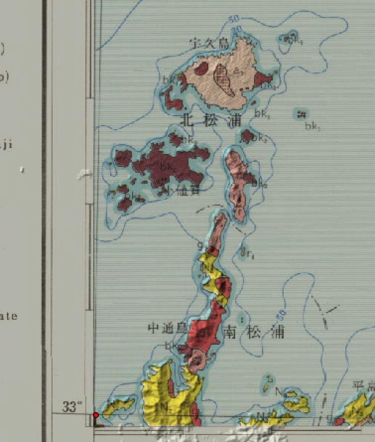
Here is a section of the the DEM with the Bonne projection:

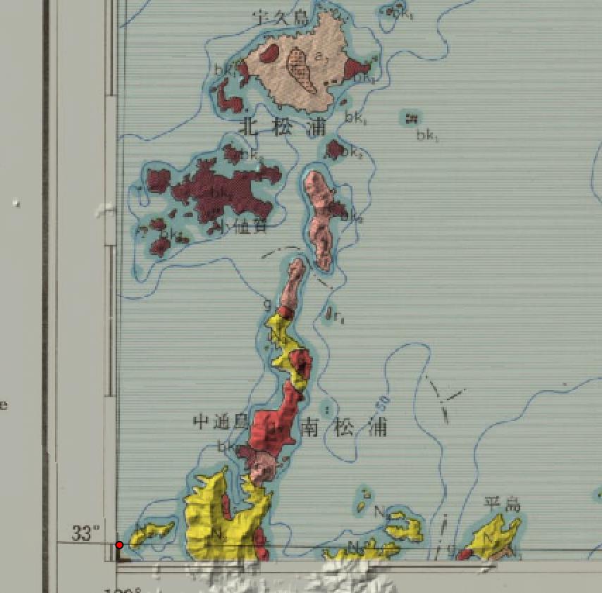
Here is a section of the DEM in EPSG:30162 (project CRS still set to the Bonne projection):

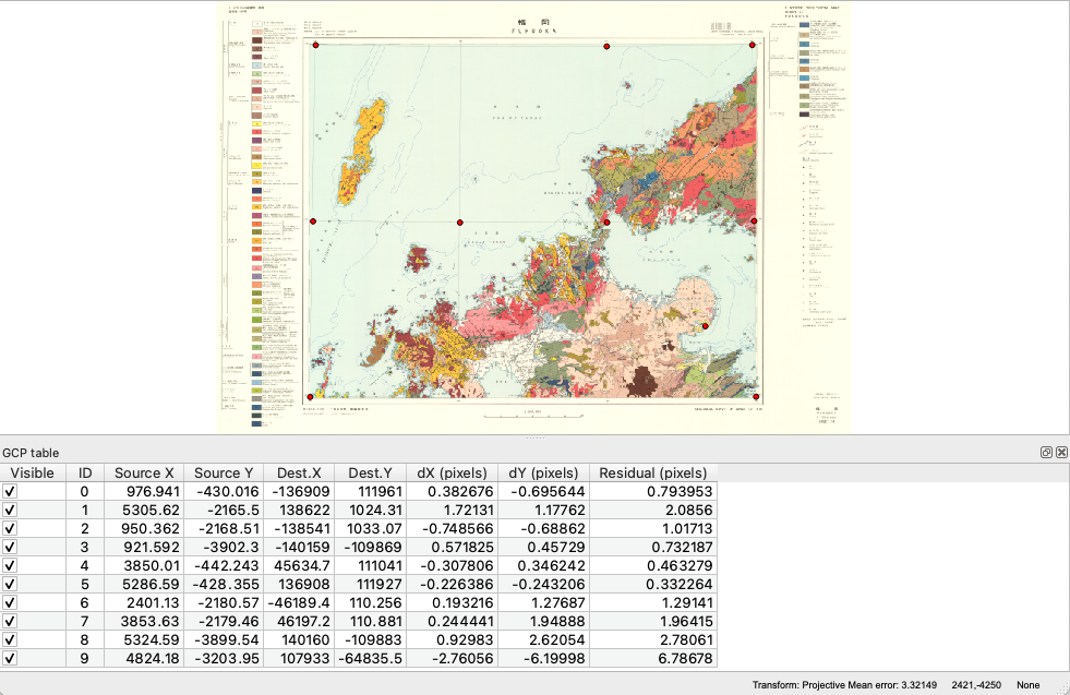
Here are my GCP points in the georeferencer:

I'm still new to georeferencing.
