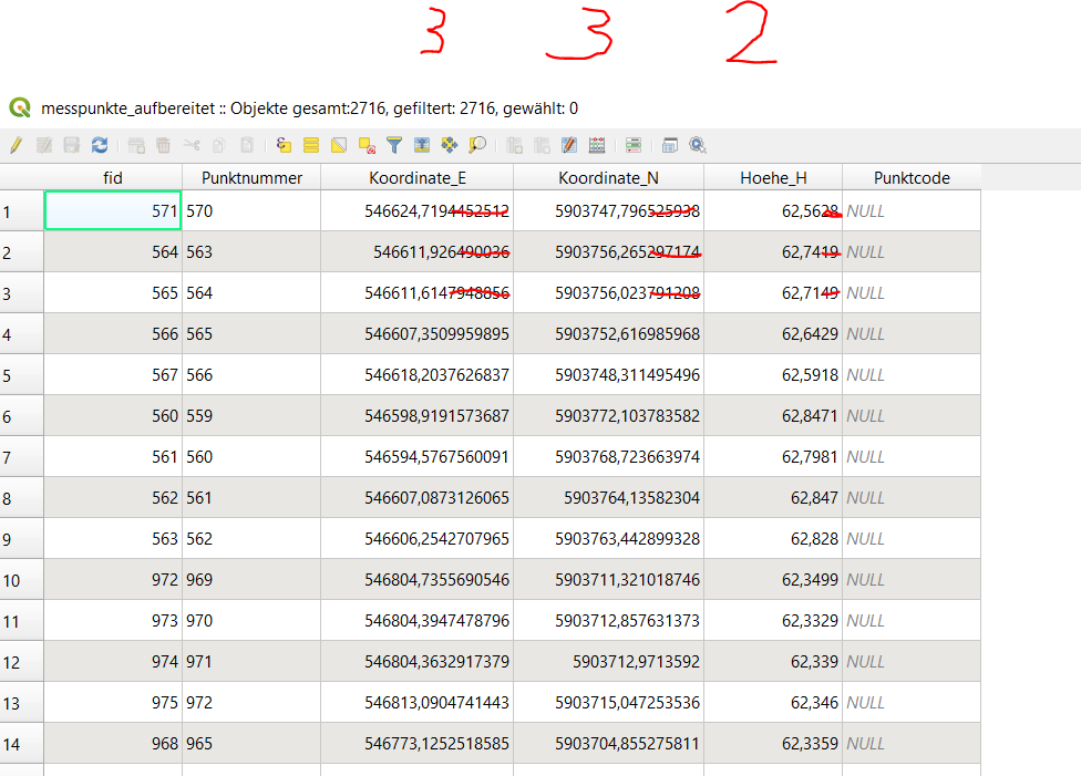
I have a GeoPackage table with coordinates and heights. I only want 3 decimals for the coordinates and 2 decimals for the heights.
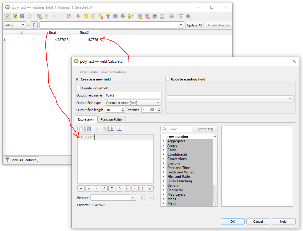
In the past I could easily define the precision in the field calculator, but the field is greyed out for GeoPackage layers. It only works for temporary layers.
I also tried "Refactor field" tools and defined the precision, but it gave me the table you are seeing in the screenshot.
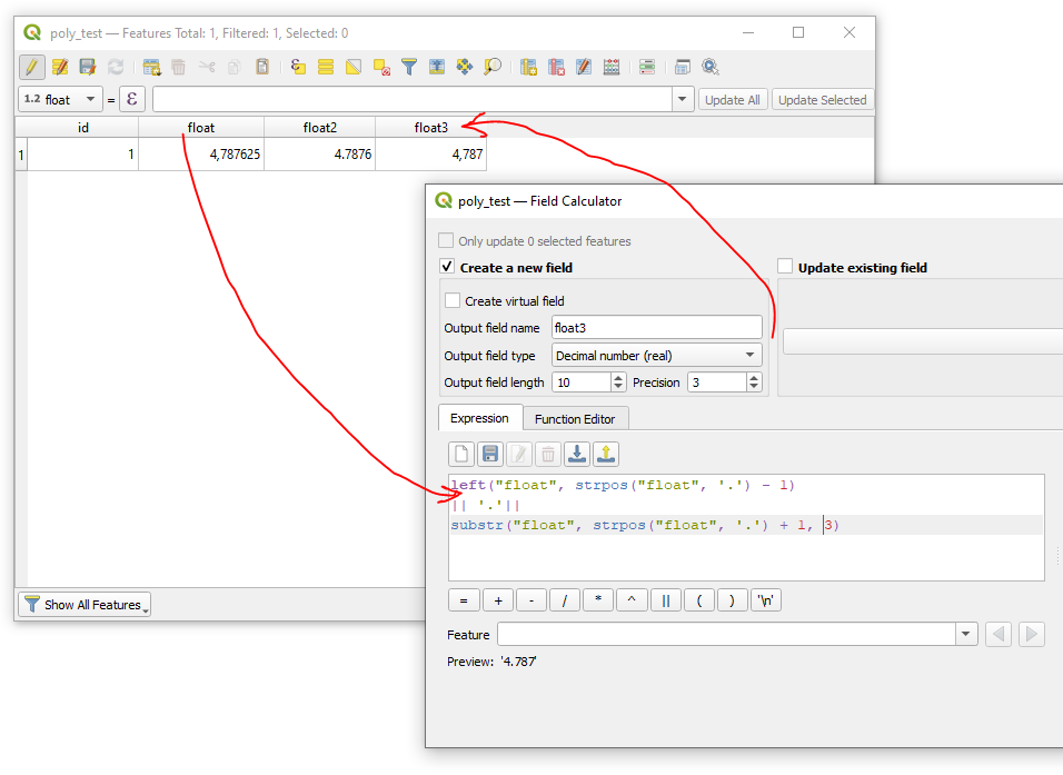
If it was string I could use a the substr() function. But these are numeric fields. And copying to a new string field, using substr() function and copying back to numeric is too much manual work, as I run into this task frequently.


