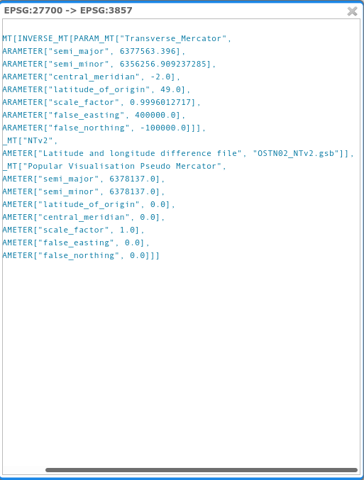
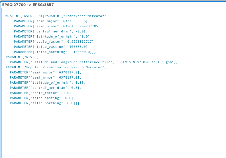
Trying to apply a grid shift file to GeoServer. Have looked at the documentation but all it seems to say is to put the files in the user_projections, which I've done.
I'm trying to use OSTN15_NTv2_OSGBtoETRS.gsb to convert EPSG:27700 to EPSG:3857. I've downloaded the NTv2 grid files and added to the user_projections folder, however it doesn't seem to have any affect when testing in the Reprojection console.
How do I 'make' GeoServer use the more accurate grid shift?


