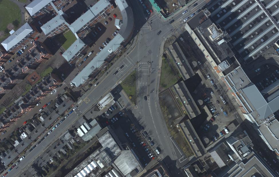
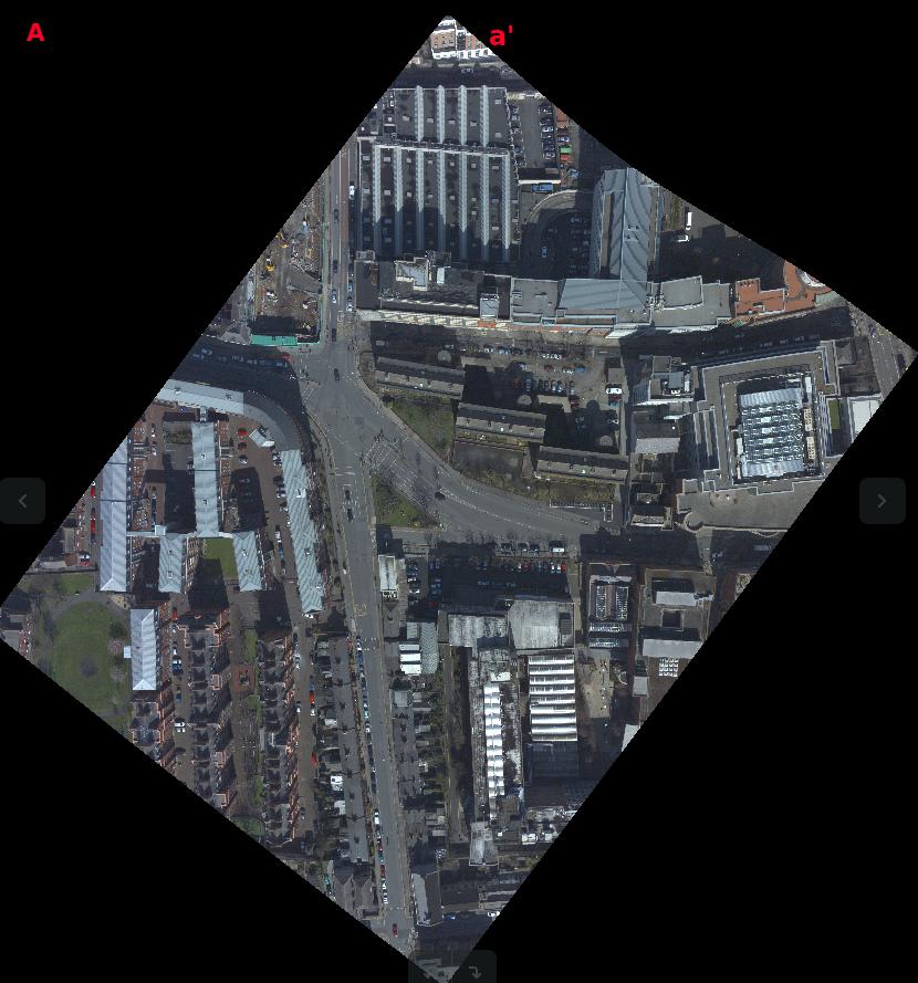
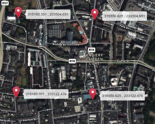
I georeferenced a .tif image (image 1) using QGIS software following the Irish Grid System [EPSG:29903]. After I georeferenced. I see that the image shape is changed (image 2).
Then I checked the georeferenced image with gdalinfo command and obtained the following output.
Driver: GTiff/GeoTIFF
Files: 3_thin.tif
Size is 10786, 11223
Coordinate System is:
PROJCS["unnamed",
    GEOGCS["Modified Airy",
        DATUM["unknown",
            SPHEROID["mod_airy",6377340.189,299.3249373654824],
            TOWGS84[482.5,-130.6,564.6,-1.042,-0.214,-0.631,8.15]],
        PRIMEM["Greenwich",0],
        UNIT["degree",0.0174532925199433]],
    PROJECTION["Transverse_Mercator"],
    PARAMETER["latitude_of_origin",53.5],
    PARAMETER["central_meridian",-8],
    PARAMETER["scale_factor",1.000035],
    PARAMETER["false_easting",200000],
    PARAMETER["false_northing",250000],
    UNIT["metre",1,
        AUTHORITY["EPSG","9001"]]]
Origin = (315183.331350925960578,233504.650853214989183)
Pixel Size = (0.034052782164520,-0.034052782164520)
Metadata:
  AREA_OR_POINT=Area
Image Structure Metadata:
  INTERLEAVE=PIXEL
Corner Coordinates:
Upper Left  (  315183.331,  233504.651) (  6d16'13.91"W, 53d20'21.26"N)
Lower Left  (  315183.331,  233122.476) (  6d16'14.41"W, 53d20' 8.91"N)
Upper Right (  315550.625,  233504.651) (  6d15'54.07"W, 53d20'20.98"N)
Lower Right (  315550.625,  233122.476) (  6d15'54.57"W, 53d20' 8.62"N)
Center      (  315366.978,  233313.564) (  6d16' 4.24"W, 53d20'14.94"N)
Band 1 Block=10786x1 Type=Byte, ColorInterp=Red
Band 2 Block=10786x1 Type=Byte, ColorInterp=Green
Band 3 Block=10786x1 Type=Byte, ColorInterp=Blue
I would like to know, when the output upper left coordinates as 315183.331, 233504.651, does it point A or point a' ? (A and a' are marked in red color in image 2).


