I'm trying to make a topographic map of an area in Iceland, using SRTM data from here. There are other data sources, but this seems fine for what I'm trying to do.
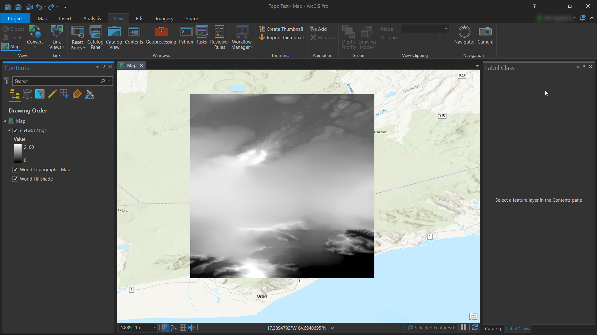
The unedited, raw HGT file looks like this when imported into ArcGIS Pro:
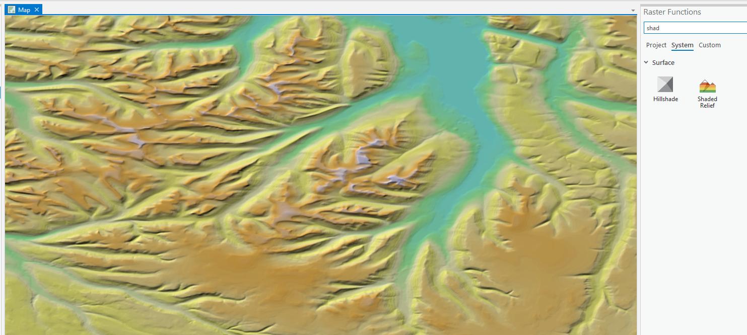
 I'm trying to find out how to convert this into a nice looking shaded relief map, similar to something like this.
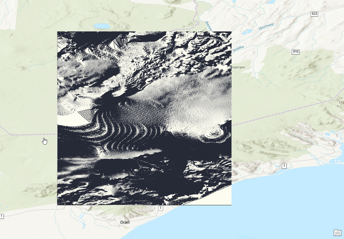
After searching through the pain that is the ArcGIS documentation, I concluded that I had to do something with either the HillShade or Slope functions in the 3D Analyst toolbox. However, when I try both of these tools, the produce some very weird results.
For example, the HillShade function on default settings:
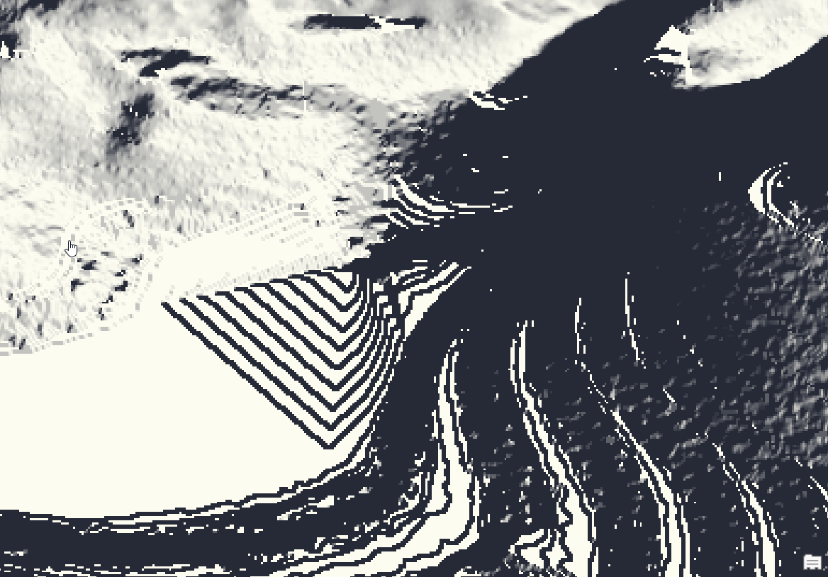
 There is also this weird triangular prism produced:
 And then the Slope function on default settings:
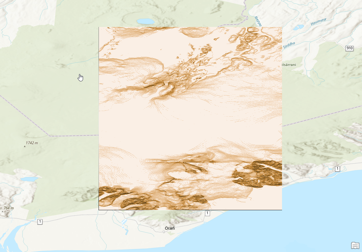 Even when changing the colours used it looks wrong.
How do I make a Topo map in ArcGIS Pro?

