I have a multidimensional raster layer in WGS 84 which I created with no issues from a NetCDF file in ArcGIS pro (https://pro.arcgis.com/en/pro-app/latest/tool-reference/multidimension/make-multidimensional-raster-layer.htm). The problem is I will eventually need to run the make space time cube tool from multidimensional raster layer tool (https://pro.arcgis.com/en/pro-app/latest/tool-reference/space-time-pattern-mining/createcubefrommdrasterlayer.htm) which only takes equal area input.
To use this tool I first want to project my multidimensional layer to equal area, but the problem is the project raster tool produces a raster layer, not an output multidimensional raster layer.
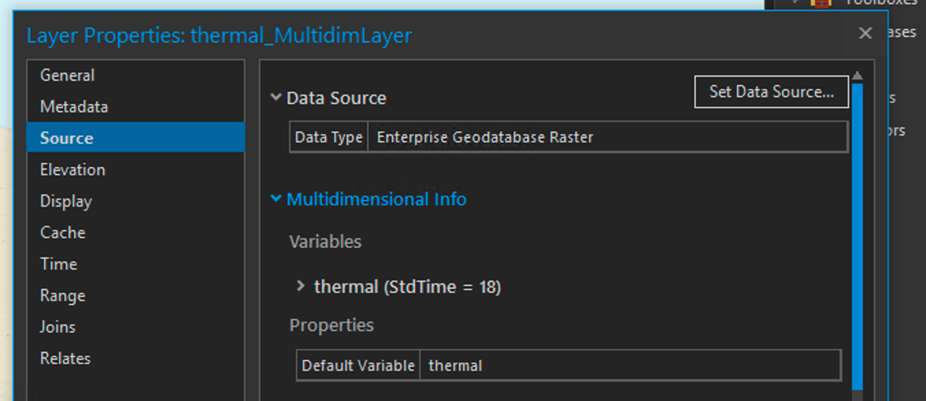
Here is some metadata on my input layer:
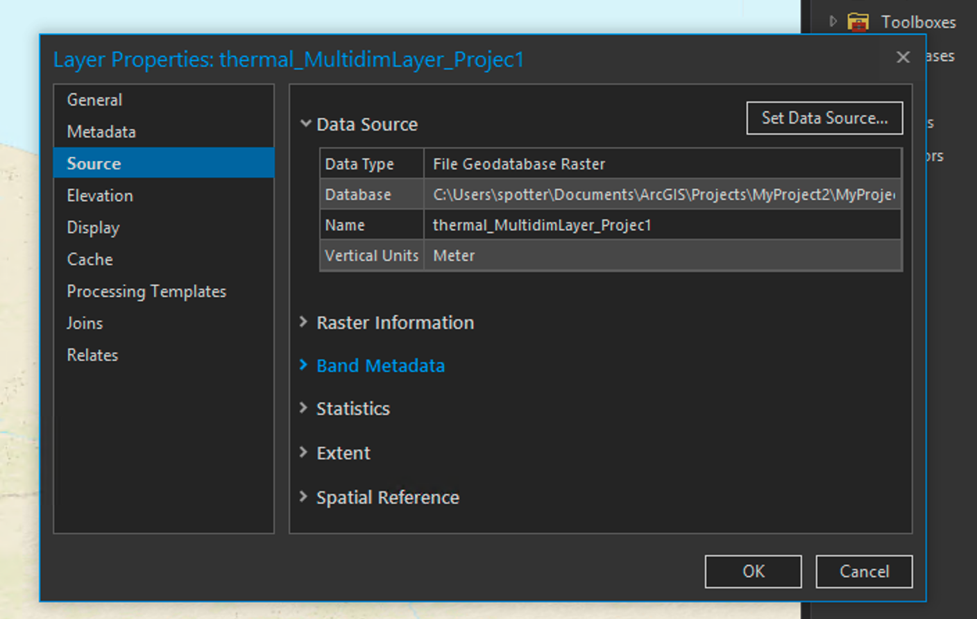
which highlights how it is multidimensional, and here is the output after projecting to an equal area:
which is no longer multidimensional.
Is it possible to project a multidimensional raster layer to a new multidimensional layer?


