I have a shapefile containing points with circles with specific RGB colors that I am trying to convert to KML to open in Google Earth. In Google Earth, points appear at correct location but instead of circle with color, I only see drop pins. How can I keep my QGIS formatting intact during KML creation?
-
2You can't. Styles seldomly are cross-plattform.– ErikCommented Sep 5, 2021 at 9:53
-
Points with circles? Shapefile is a data storage format which only permits point or line or polygon topology. Symbology is a property of the GIS software, not the geometry.– VinceCommented Sep 5, 2021 at 17:55
Add a comment
|
1 Answer
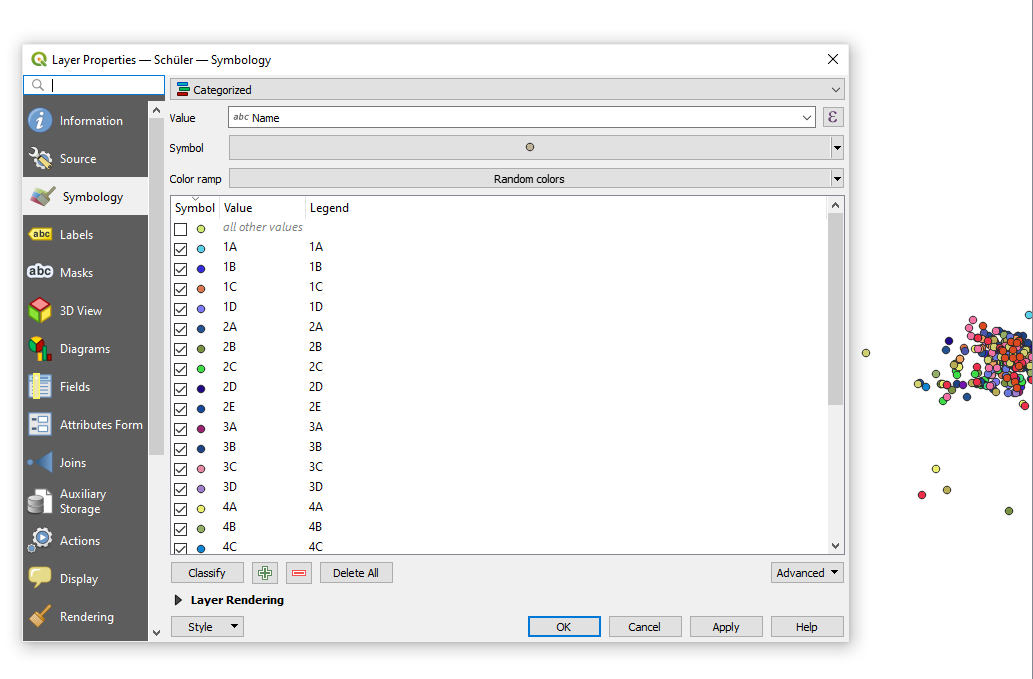
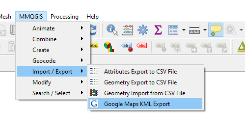
Assuming your shapefile contains point-data and you have categorized this points by field in the data-table (see screenshot 1) you can install the MMQGIS plugin and export als KML file (see screenshot 2).
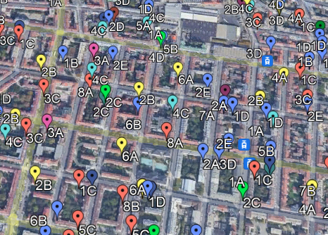
Result is shown (partially) as screenshot3
screenshot 1:
screenshot 2:
screenshot 3:


