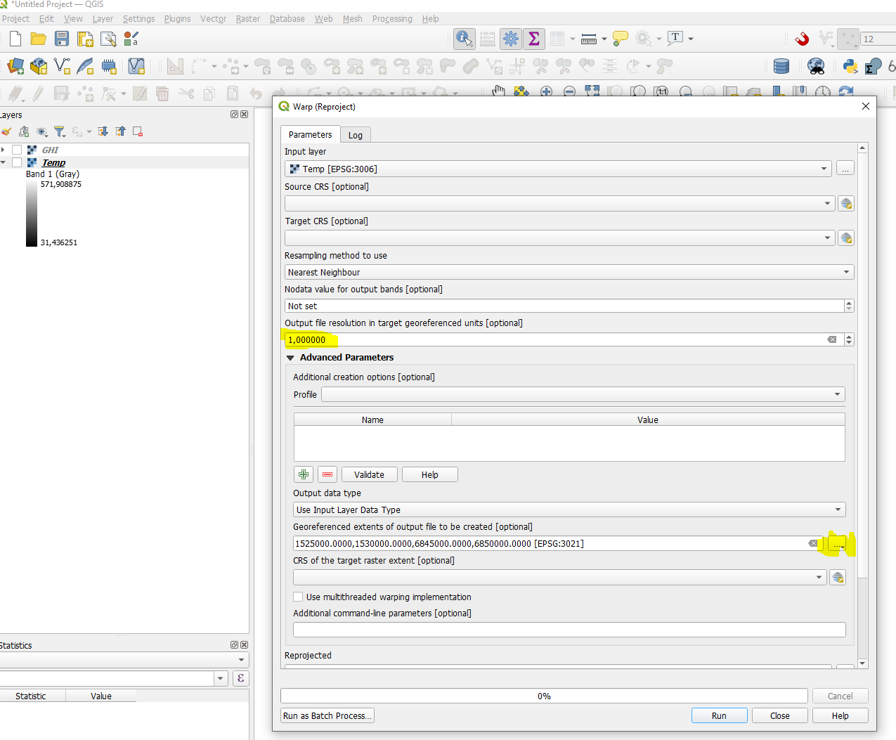
I have two rasters of different resolutions of the same country.
One raster contains information of Global Horizontal Irradiance (GHI) and has dimensions of 3200 × 2400. The other raster contains information of Temperature and has dimensions of 960 × 720. The coordinates of both rasters don't exactly match.
I'd like to increase the resolution of the Temperature raster, interpolate the missing values with which ever method is considered preferable, and have the same coordinates as the GHI raster.
If visualized as a CSV file, I'd expect both files to have the same number of rows and columns, and (Latitude, Longitude). However different information, since one file would contain Temperature and the other GHI.

