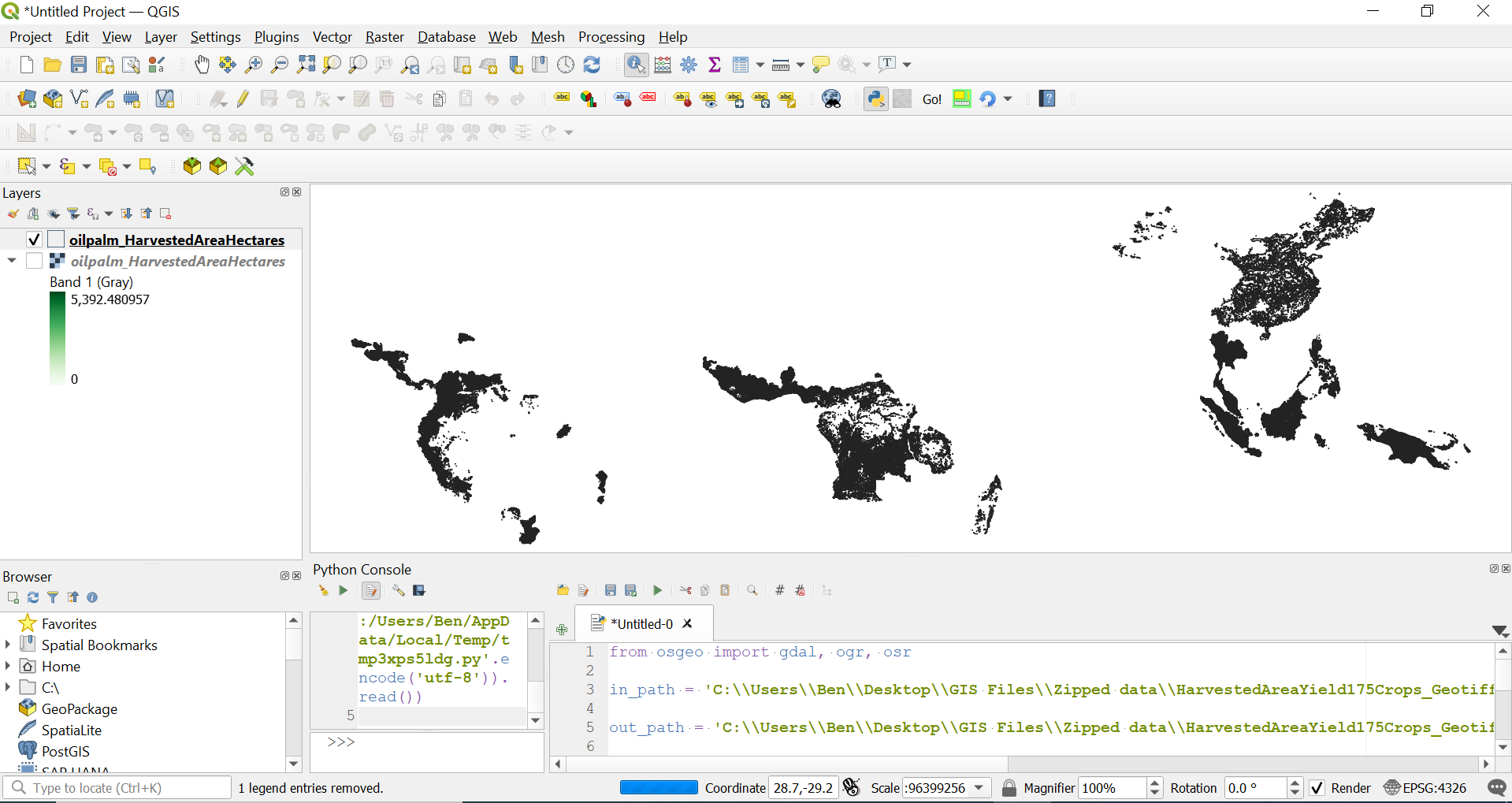
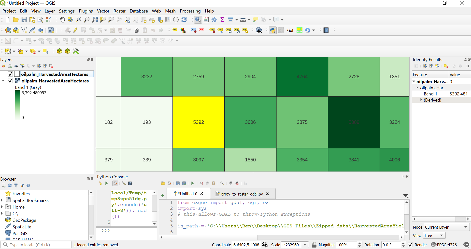
I am desperately trying to vectorize raster files in a loop for which I came across GDAL's polygonize function (https://gdal.org/programs/gdal_polygonize.html).
However, I don't get the hang of it. To me, the input parameters are cryptic and I failed to figure out the exact commands required for application in Python.
** Edit**
With help of Ben's comment I got to this point:
from osgeo import gdal, ogr
import sys

# this allows GDAL to throw Python Exceptions
gdal.UseExceptions()

#  get raster datasource
src_ds = gdal.Open(inputFilename)
srcband = src_ds.GetRasterBand(1)

#  create output datasource
dst_layername = "POLYGONIZED_STUFF"
drv = ogr.GetDriverByName("ESRI Shapefile")
dst_ds = drv.CreateDataSource( outputPath+outputFile )
dst_layer = dst_ds.CreateLayer(dst_layername, srs = None )

gdal.Polygonize( srcband, None, dst_layer, -1, [], callback=None )
GDAL now creates three files:
- filename.dbf (6,451 KB)
- filename.shp (75,929 KB)
- filename.shx (1 KB)
However, when I import the file with GeoPandas (test = gpd.read_file(outputPath+outputFile)), the GeoDataFrame is empty.
Bzw. I am working with this data set: http://www.earthstat.org/harvested-area-yield-175-crops/


