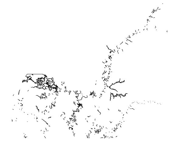
You should be able to read this using the sf package as a vector data source.
Extracting the ZIP file of the chart I think you are referencing gets me a US5MD23M.000 file. With sf package I can see its lots of layers:
> st_layers("US5MD23M.000")
Driver: S57
Available layers:
   layer_name  geometry_type features fields
1        DSID             NA        1     36
2      BCNLAT          Point      121     43
3      BCNSPP          Point       10     43
4      BRIDGE                      40     40
[etc etc]
You can read a layer by name:
> rivers = st_read("US5MD23M.000","RIVERS")
Reading layer `RIVERS' from data source
  `/nobackup/rowlings/Downloads/ENC_ROOT/US5MD23M/US5MD23M.000'
  using driver `S57'
Simple feature collection with 518 features and 24 fields
Geometry type: GEOMETRY
Dimension:     XY
Bounding box:  xmin: -76.1938 ymin: 38.23361 xmax: -75.5877 ymax: 38.64338
Geodetic CRS:  WGS 84
> plot(rivers$geom)

You'll have to consult a data dictionary to find out what the layers and fields mean, if you need that information:
> names(rivers)
 [1] "RCID"      "PRIM"      "GRUP"      "OBJL"      "RVER"      "AGEN"
 [7] "FIDN"      "FIDS"      "LNAM"      "NOBJNM"    "OBJNAM"    "STATUS"
[13] "INFORM"    "NINFOM"    "NTXTDS"    "SCAMAX"    "SCAMIN"    "TXTDSC"
[19] "RECDAT"    "RECIND"    "SORDAT"    "SORIND"    "LNAM_REFS" "FFPT_RIND"
[25] "geometry"
More info about reading S57 in R via GDAL here:
https://gdal.org/drivers/vector/s57.html#vector-s57

