I'm a student in the end of class internship and just found out about QField. I'm familiar with GIS so I didn't think I'd struggle so hard. I want to use QField for butterfly conservation, and will use QField to work with volunteers who will help with the sampling of this butterfly.
I wanted to try it out and test how it works, so I followed this link found on qgis.org : https://livelihoods-and-landscapes.com/qgis_qfield_tutorials/training_overview.html
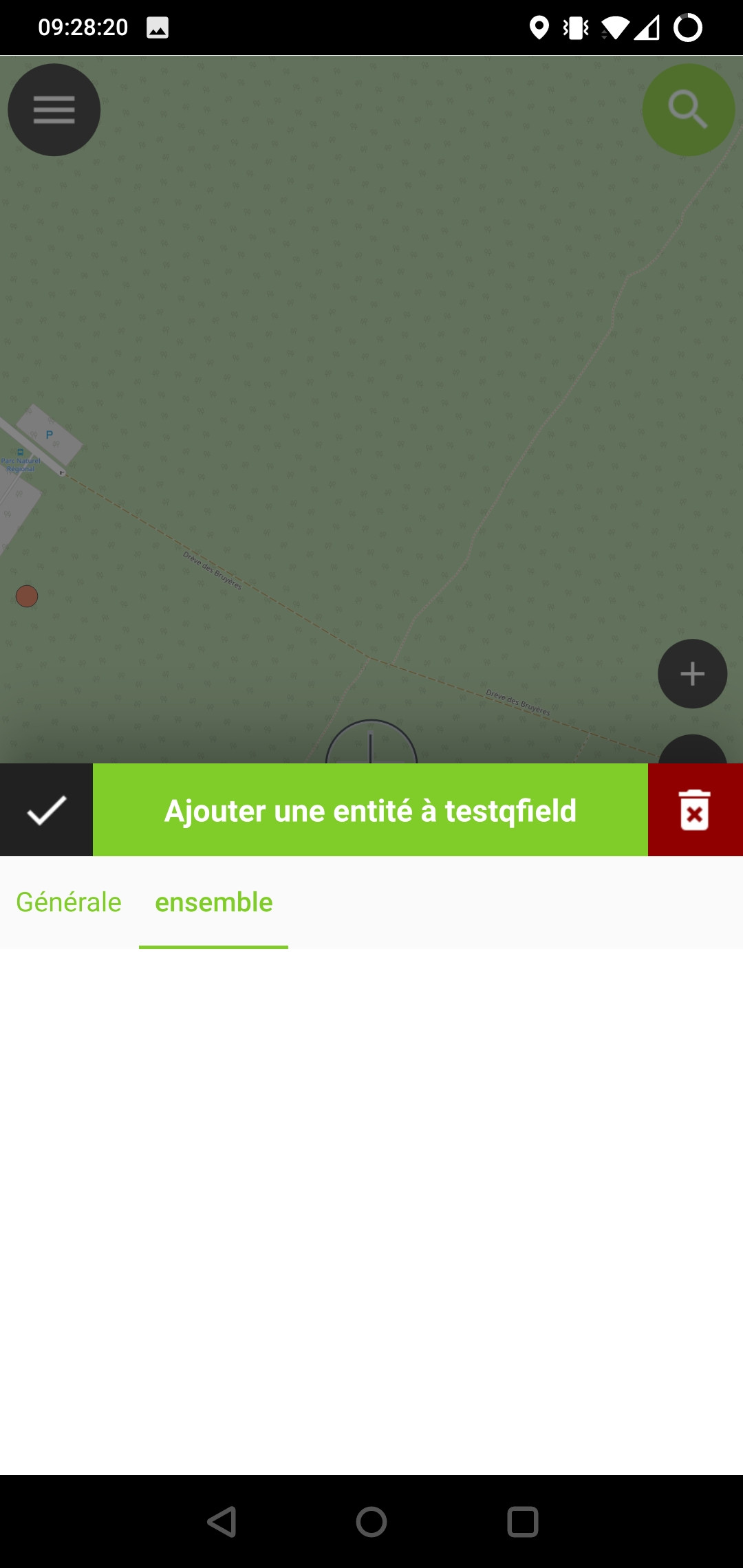
I followed it strictly as it seems to provide a good overview. But as I opened my project in QField, I was able to put points on the map, but unable to fill out the form as it is plain blank.
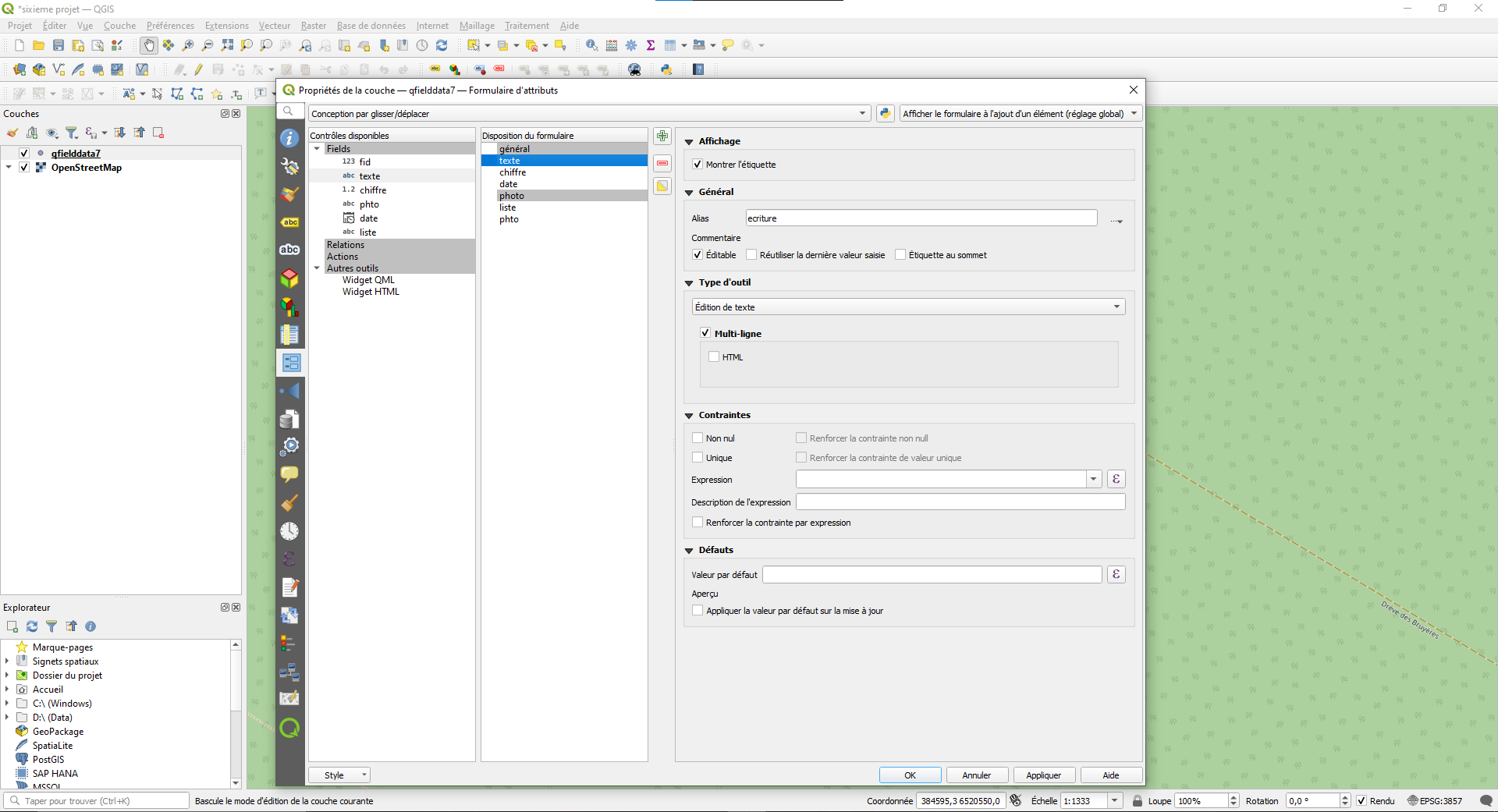
Here's the attribute form of my project on Qgis 3.22. I have followed the guide linked in the beginning of this post so the other entries have the same options.

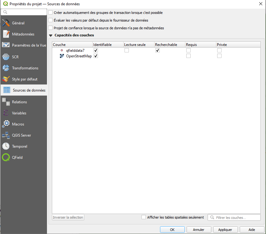
Here's the Data sources of my project,

I've tried with different setting, differents types of layer (polygon, points, line...) The points appears on the project but I cannot fill the form, so the points are kind of useless
I am still new to the GIS world. I have not found this issue elsewhere so I don't know if it may be some mistake of my side.

