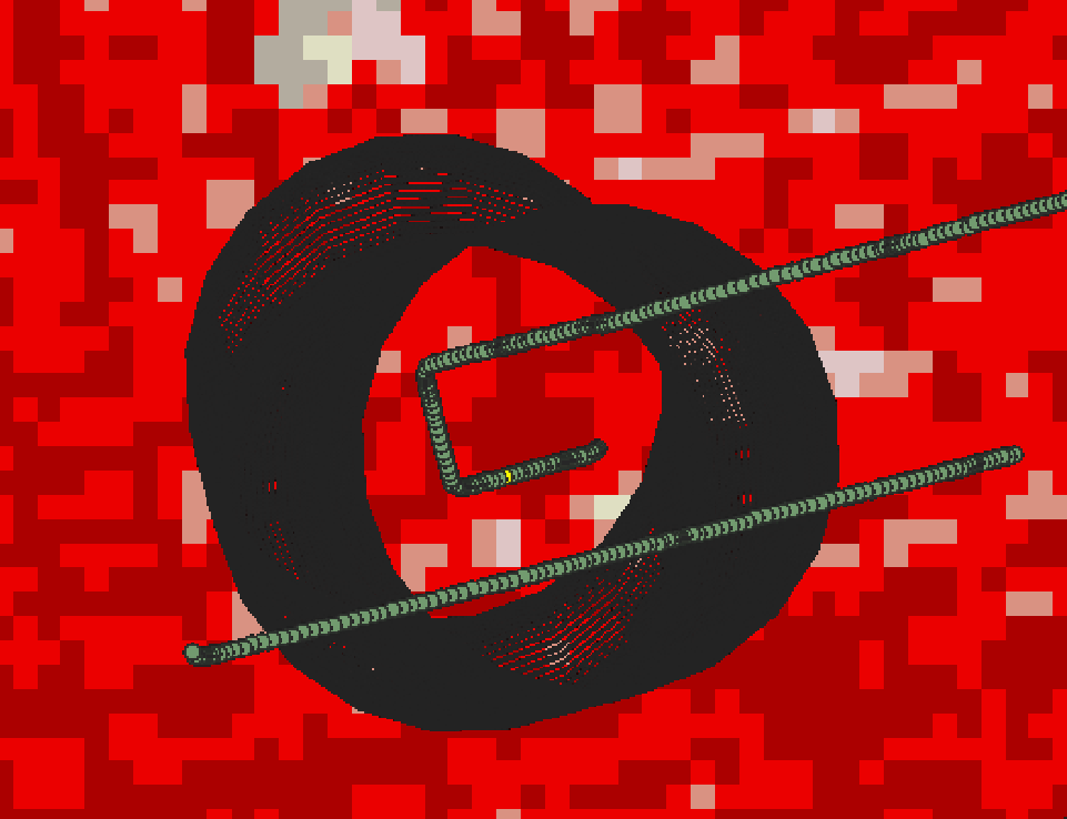
I am new to QGIS. I am trying to find out the distribution of NLCD bins within the buffered areas. The buffered areas is a vector layer, while the other is the NLCD raster (downloaded from MLRC). In summary I am trying to get for each circle how many points are in class 21, 22, 23, etc.
1 Answer
Depending on the exact number of unique buffer polygons you have, my first recommendation is to use each buffer polygon (which should have a unique name & ID) to clip the NLCD raster to a new layer via Raster > Extraction > Clip Raster By Mask Layer.
From there, enter the Properties window of this new raster and navigate to the Histogram section. You will be able to compute the raster's histogram of values by clicking Compute Histogram, which should be fairly quick given the raster resolution based on image you've provided.
Should you have a lot of these buffers, you likely will want to merge all buffers into a single shapefile layer (multipolygon), then leverage the Iterate over Each Feature option in the Clip Raster By Mask Layer. This will loop through each of the buffer features and produce individual rasters for each.

