I would like to know if there is any way to generate a connecting line between 2 points layers (blocks-points representing a watershed, concpoints-points representing the concentration location of the flow from that watershed) through the geometry generator in the style panel of QGIS, with the specification that in some cases there is a relationship of several basins concentrated in a single point.
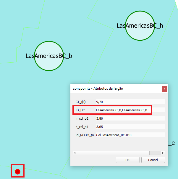
In these specific cases, the attribute "ID_UC" that indicates which basins contribute to a concentration point is a string that separates the basin ID's ("ID_QE" attribute of the layer blocks) using a comma, as in the following image:
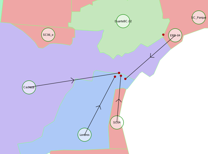
As you can see in the following image, I was able to accomplish the task for simple cases where there is a ratio of 1 basin to 1 concentration point, using the expression
make_line(
   start_point($geometry),
   geometry(
       get_feature(
           'concpoints',
           'ID_UC',
           "ID_QE"
       )
   )
)
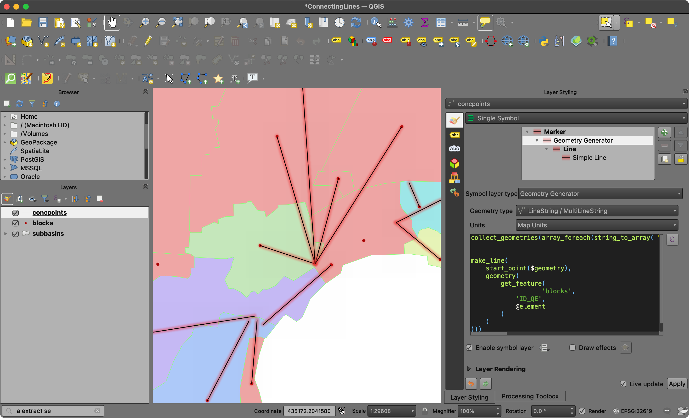
I imagine that there is a way within the geometry generator to transform the string field "ID_UC" into an array, where each element would be the ID of a different basin, and thus be able to make this connection between the blocks layer and the concpoints layer, or another way to generate these connection lines.


