0

I have a road shapefile that I've rasterized. My study area goes beyond where the roads are.

I've tried using Proximity tool with the rasterized roads to create a "euclidean distance" layer (similar to ArcGIS). However, it only extends until the extent of the rasterized roads.

I need it to extend further to fill my study area. How do I do this on QGIS?

2
  • 1
    The output should be the same size as the input, it is likely that when you rasterized your roads the output raster was exactly the extent of the input lines. this might help gis.stackexchange.com/questions/92460/… Commented Mar 21, 2023 at 6:21
  • 1
    Just increase the extent when you rasterize i.e. use the output extent parameter.
    – user2856
    Commented Mar 21, 2023 at 6:21

1 Answer 1

1

I am not sure exactly understand what you want. But if I understand correctly you need a raster file which have roads and your working area borders.

I think you need to merge 2 different vector layer (roads layer and working area border layer) after that you can use "Rasterize" function.

1- If roads layer geometry type is line, you can convert as polygon geometry type with "Buffer" function.(Vector/Geoprocessing Tools)

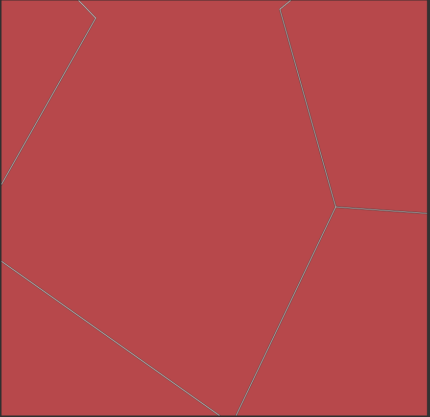
2-After you can use "Difference" function to get clipped border polygon. (Vector/Geoprocessing Tools)

enter image description here

3-Use "Merge vector layers" function to marge "clipped working border polygon" and buffered roads layer.(Vector/Data Management Tools)

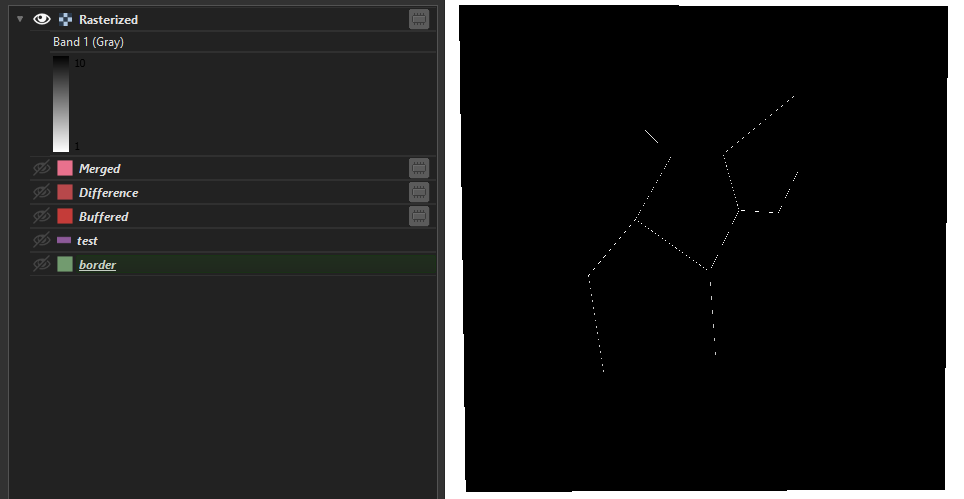
4- Use Rasterize function for result layer. enter image description here

Your Answer

By clicking “Post Your Answer”, you agree to our terms of service and acknowledge you have read our privacy policy.

Not the answer you're looking for? Browse other questions tagged or ask your own question.