1

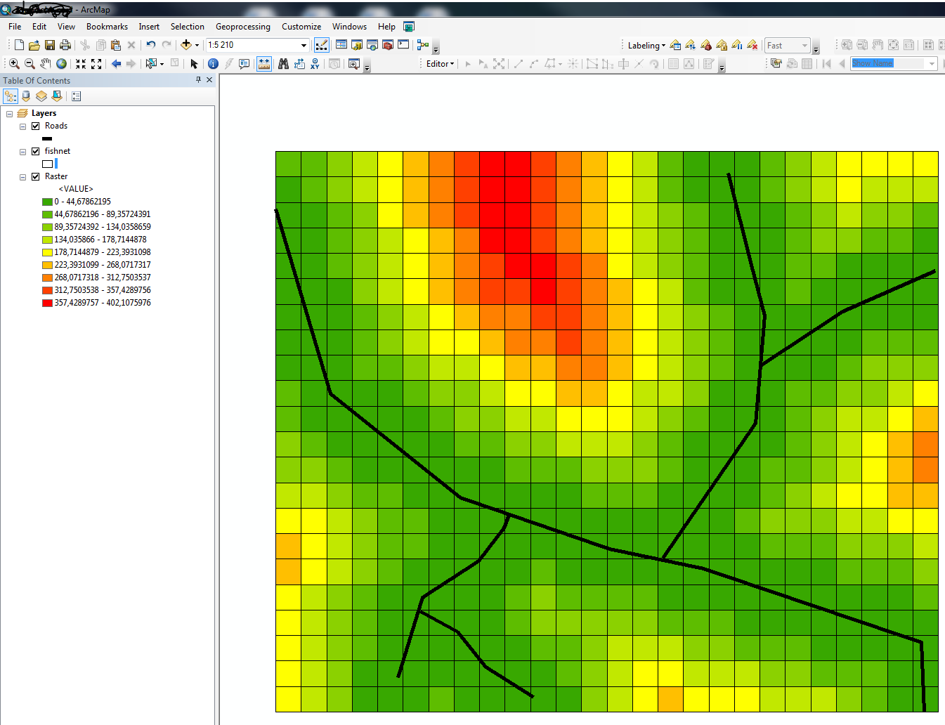
I have created a set of polyline roads as a shapefile, and I would like to create a raster file which shows distance from the nearest road. However, I do not have access to the Euclidean Distance tool so cannot use this. Are there any other suggestions?

I tried buffering the lines then converting this to a raster but this did not work.

1 Answer 1

1

This is one way to do it but you will need Advanced License:

  1. Create Fishnet polygons using roads as template dataset (or by manually specifying fishnet extent) and desired cell width and height.
  2. Run Near tool with fishnet polygons as input and roads as near features.
  3. Convert the fishnet to raster with Feature To Raster. Use the NEAR_DIST field created in step 2 as input field

If you have a large road network this method will be pretty slow.

enter image description here

Your Answer

By clicking “Post Your Answer”, you agree to our terms of service and acknowledge you have read our privacy policy.

Not the answer you're looking for? Browse other questions tagged or ask your own question.