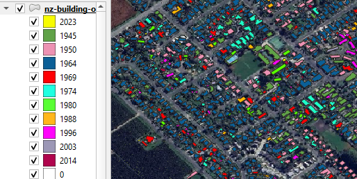
I'm currently mapping out around 10 layers worth of polygons all in a polygon feature as shown in the image below.
I'm now trying to create a heatmap for each layer to show where lies the highest density of the polygons. However, to my understanding it only works with points. My question is how do I convert a multi-polygon feature into coloured centroids for each layer. I've tried the centroid feature but it only creates one colour for all years whereas I want one colour for each layer.

