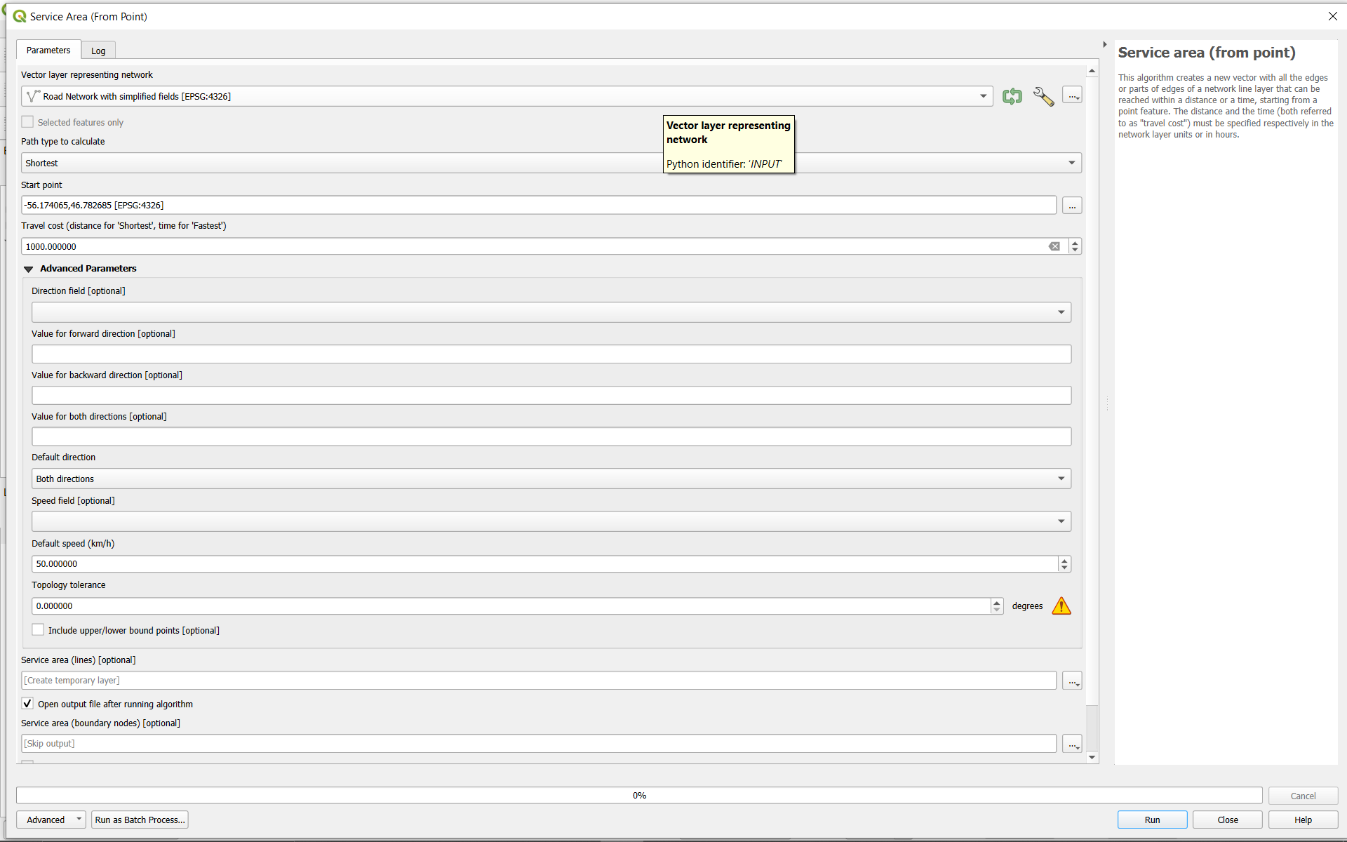
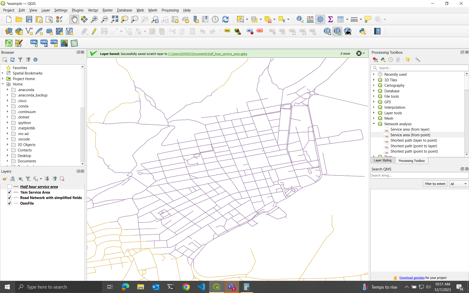
I'm new to QGIS and I'm having a strange problem with its service area tool. I have a line layer representing a network of roads, imported from openstreetmaps. If I calculate the service area from a point using distance, then it works as expected. For example, if I set the cost to 1000 meters, it returns a line layer with all the paths of 1000 meters from that point.
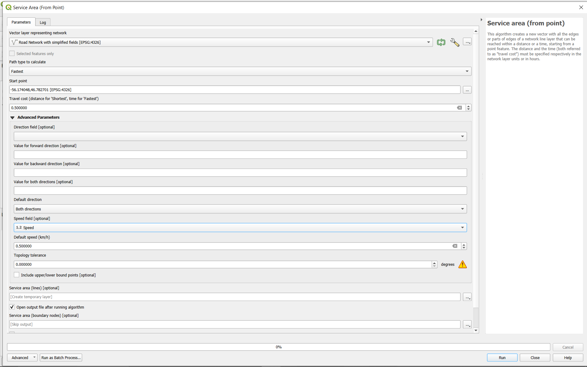
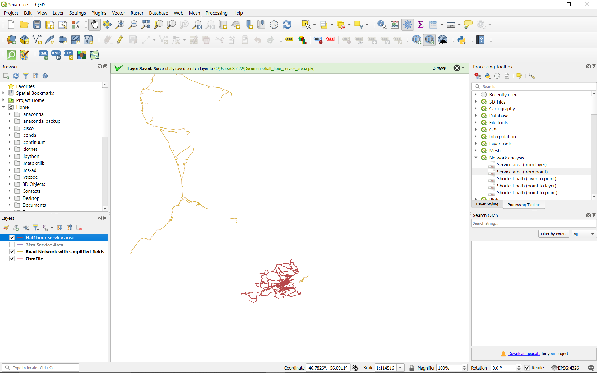
However, if I try to get the service area based on travel time instead, then no matter what speed I set for the features, or cost I set in terms of time, it always returns a line layer with every reachable road highlighted. It's as if it's assuming infinite speed of travel, so every reachable point is reachable in any amount of time.
What am I doing wrong?
The data set in this example is from St. Pierre and Michelon, acquired here: OSM data
The roads were extracted from the raw pbf file using osmosis with this command: osmosis --read-pbf .\saint_pierre_et_miquelon-latest.osm.pbf --tf accept-ways highway=* --tf reject-relations --used-node --write-xml example.osm


