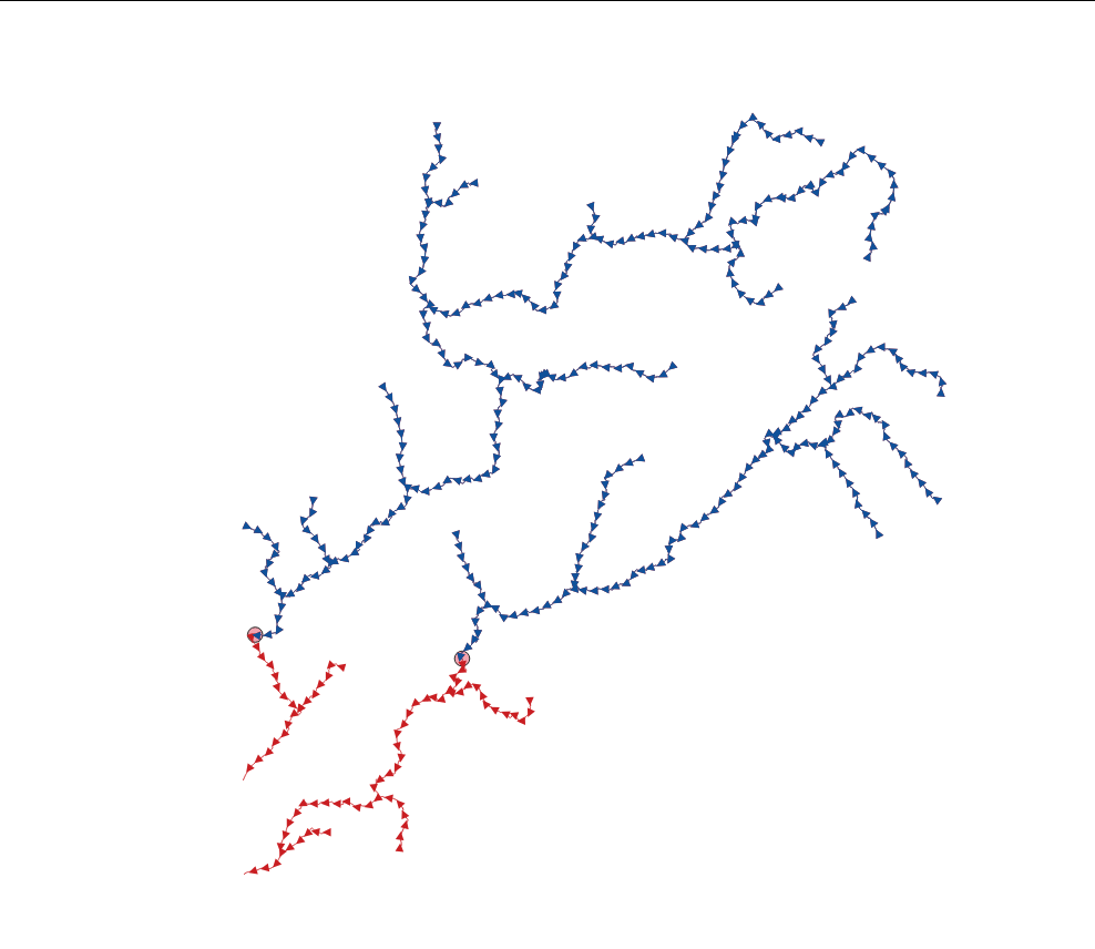
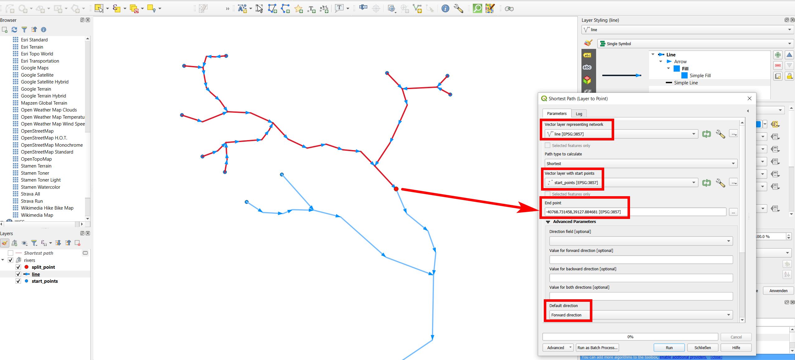
I need to split lines (rivers) to upper and lower parts (upstream and downstream) by points (fish barrier). All the original lines start from upstream and end downstream (picture).
SAGA's "Split Lines at Points" will do the splitting just fine. After that I would need to produce an attribute for each line with one value for all upstream lines and another for all downstream lines, but have not succeeded in doing that.
I'm thinking maybe the direction of the line would be useful for defining upstream and downstream, as the original lines start always from upstream. There's also the fact that lines start from higher altitude than they end, so using a DEM would maybe an option too, but that sounds difficult.
I'm using QGIS 3.34.1.


