I use QGIS version 3.34.3 and Windows 10.
what I did so far:
- I downloaded the data from COSMOS Europe here: https://doi.tereno.net/landingpage/doi/https%3A%2F%2Fapi.datacite.org%2Fdois%2F10.34731%252Fx9s3-kr48
- saved the file "General_Information" from this dataset so that each heading appeared in a column. You can download it here if you need: https://drive.google.com/drive/folders/1P_wPyuD8wuLcU-_kGjUJIz7vIrTQi-hT?usp=drive_link
- I downloaded a DEM here: https://www.mapsforeurope.org/access-data ("EuroDEM")
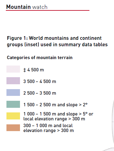
- I defined a mountainous area as the following:
I loaded eurodem raster layer into QGIS
I added the csv-file "general_information" into GQIS (layer -> add layer -> delimited text -> file name “general_information_stations_ID” -> x field “longitud” -> y field “latitude” -> proof sample data -> add)
I exported the layer as shape file (save layer as shape file -> export layer -> save feature as -> ESRI shape file -> file name “stations_coordinates_ID.shp”)
I calculated slope ( raster -> analysis -> slope -> input “eurodemo” -> run; rename layer “eurodem_slope” export layer as GEOtiff -> export -> save as -> file name “eurodem_slope_new” -> create options -> high compression -> ok; use tool “sample raster values” -> Input Layer “stations_coordinates_ID” -> raster layer “eurodem_slope” -> output column “slope” -> sampled save to file -> name “slope_stations_ID2” as shape file -> save -> run)
In the attribute table are now slope values added
- I tried to calculate the local elevation range, which is the difference between maximum and minimum altitude in a region. I took each station and a radius of 7 km
- I brought both datasets into the coordinate system EPSG:6258 (export -> save as -> ... "eurodem_EPSG6258" and "stations_coordinates_ID_EPSG6258")
- I used the tool multipart to single part for "stations_coordinates_ID_EPSG6258" and saved it as "stations_coordinates_ID_EPSG6258_singleparts"
- I used the tool buffer (input layer -> "stations_coordinates_ID_EPSG6258_singleparts" -> distance 7.0 km -> end cape style round -> buffered save to file "stations_coordinates_ID_EPSG6258_singleparts_buffer.shp" ->run)
Here the buffer is not round but ellipsoidal - is that because of the projection or is there an error?
- now I want to extract the altitude values for each buffer area first and then define maximum and minimum of each of these buffer areas
- I use "clip raster by mask layer" (input layer "eurodem_EPSG6258 -> mask layer "stations_coordinates_ID_EPSG6258_singleparts_buffer" -> match the extent of the clipped raster to the extent of the mask layer -> profile high compression -> clipped (mask) save to file "eurodem_EPSG6258_clipped.tif" -> run)
And here is the problem: I always get the an error message, which is "ERROR 1: TopologyException: side location conflict at 127294.89636593655 38611.379855406813. This can occur if the input geometry is invalid."

