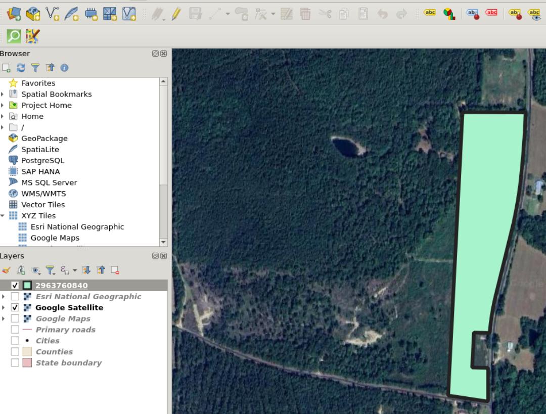
I have a map containing a KML file and a Google satellite imagery layer in QGIS 3.28 LTE. I'm interested in using this to build a map like the in picture below:
Specifically, I'd like to do multiple measurements, and have these visible on the map. Is it possible to do this in QGIS? I can see the measurements using the measurement tool, but I'm not clear how to save them on the map


