I'm attempting to combine several GeoTIFF files into a single mosaic raster using gdalwarp:
import os
os.environ['AWS_NO_SIGN_REQUEST'] = 'YES'

file1 = "https://dea-public-data-dev.s3-ap-southeast-2.amazonaws.com/derivative/ga_s2ls_intertidal_cyear_3/1-0-0/x085/y140/2020--P1Y/ga_s2ls_intertidal_cyear_3_x085y140_2020--P1Y_final_elevation.tif"
file2 = "https://dea-public-data-dev.s3-ap-southeast-2.amazonaws.com/derivative/ga_s2ls_intertidal_cyear_3/1-0-0/x092/y144/2020--P1Y/ga_s2ls_intertidal_cyear_3_x092y144_2020--P1Y_final_elevation.tif"
!gdalwarp $file1 $file2 test.tif -b 1 -overwrite -multi -wm 80% -co NUM_THREADS=ALL_CPUS -of COG -co COMPRESS=ZSTD -co PREDICTOR=YES -co OVERVIEWS=FORCE_USE_EXISTING
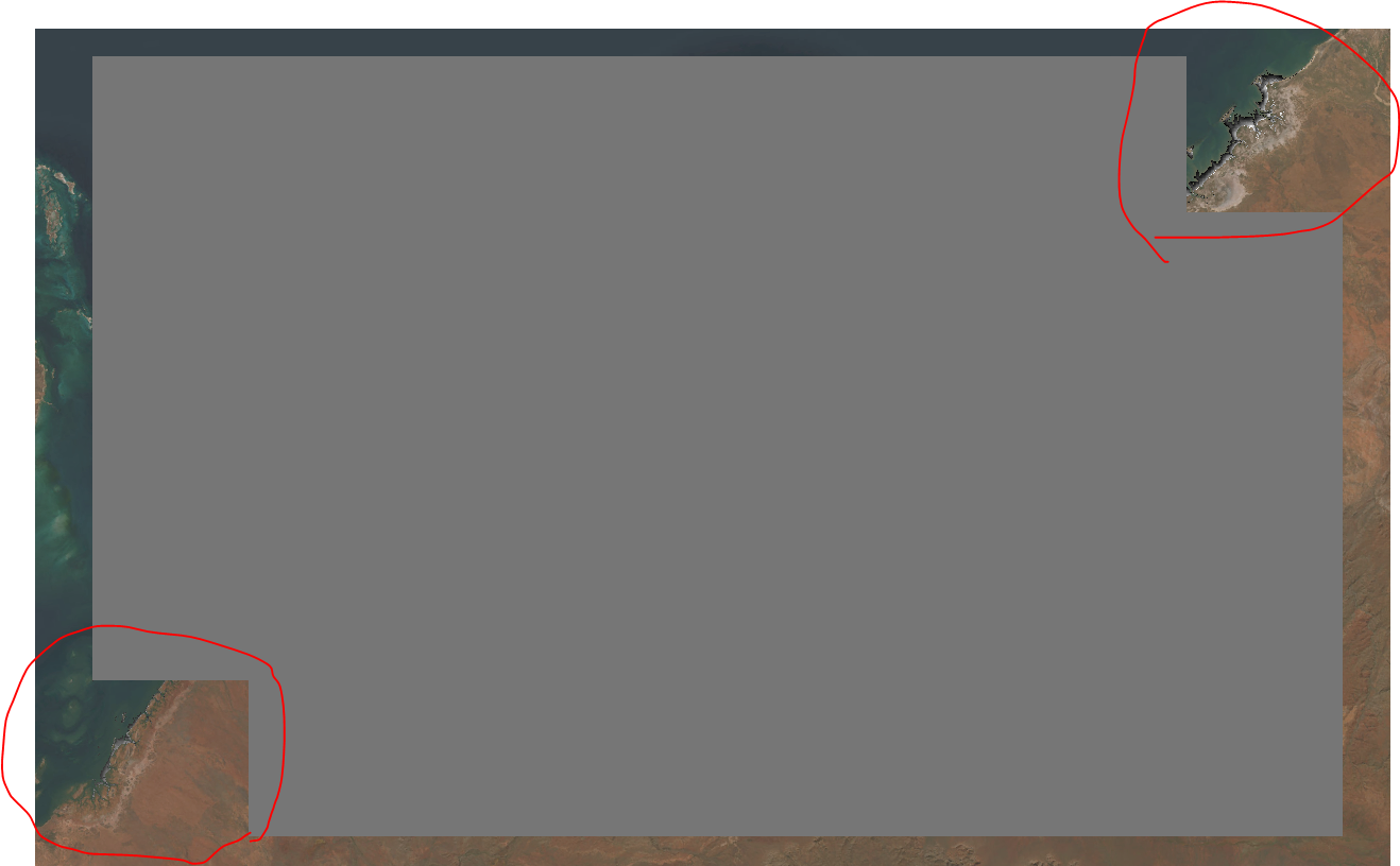
While my output mosaic raster correctly includes my input data (red circles), areas outside my rasters get assigned zero values (grey pixels):

In the past, I've had similar issues when nodata values are set incorrectly. However, as far as I can tell from gdalinfo, my input data is correctly configured with a float32 datatype and NaN nodata values. I've tried many combinations of -srcnodata and -dstnodata to try and get these artificial zero values set to nodata (e.g. -dstnodata nan, -srcnodata nan), but nothing I have tried so far has had any effect. Another challenge is that my actual data spans from -3 to +3, and includes "correct" zero values I don't want to accidently lose.
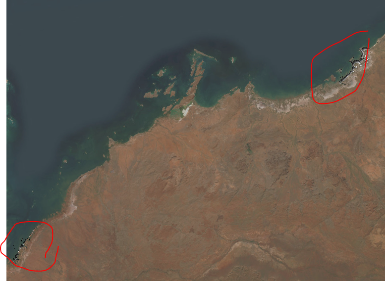
This issue seems specific to rasters with a floating point data type - interestingly, I don't have the same issue when attempting to merge integer datatype rasters - in that case, areas outside my rasters are correctly set to nodata:
file1 = "https://dea-public-data-dev.s3-ap-southeast-2.amazonaws.com/derivative/ga_s2ls_intertidal_cyear_3/1-0-0/x085/y140/2020--P1Y/ga_s2ls_intertidal_cyear_3_x085y140_2020--P1Y_final_exposure.tif"
file2 = "https://dea-public-data-dev.s3-ap-southeast-2.amazonaws.com/derivative/ga_s2ls_intertidal_cyear_3/1-0-0/x092/y144/2020--P1Y/ga_s2ls_intertidal_cyear_3_x092y144_2020--P1Y_final_exposure.tif"
!gdalwarp $file1 $file2 test.tif -b 1 -overwrite -multi -wm 80% -co NUM_THREADS=ALL_CPUS -of COG -co COMPRESS=ZSTD -co PREDICTOR=YES -co OVERVIEWS=FORCE_USE_EXISTING

