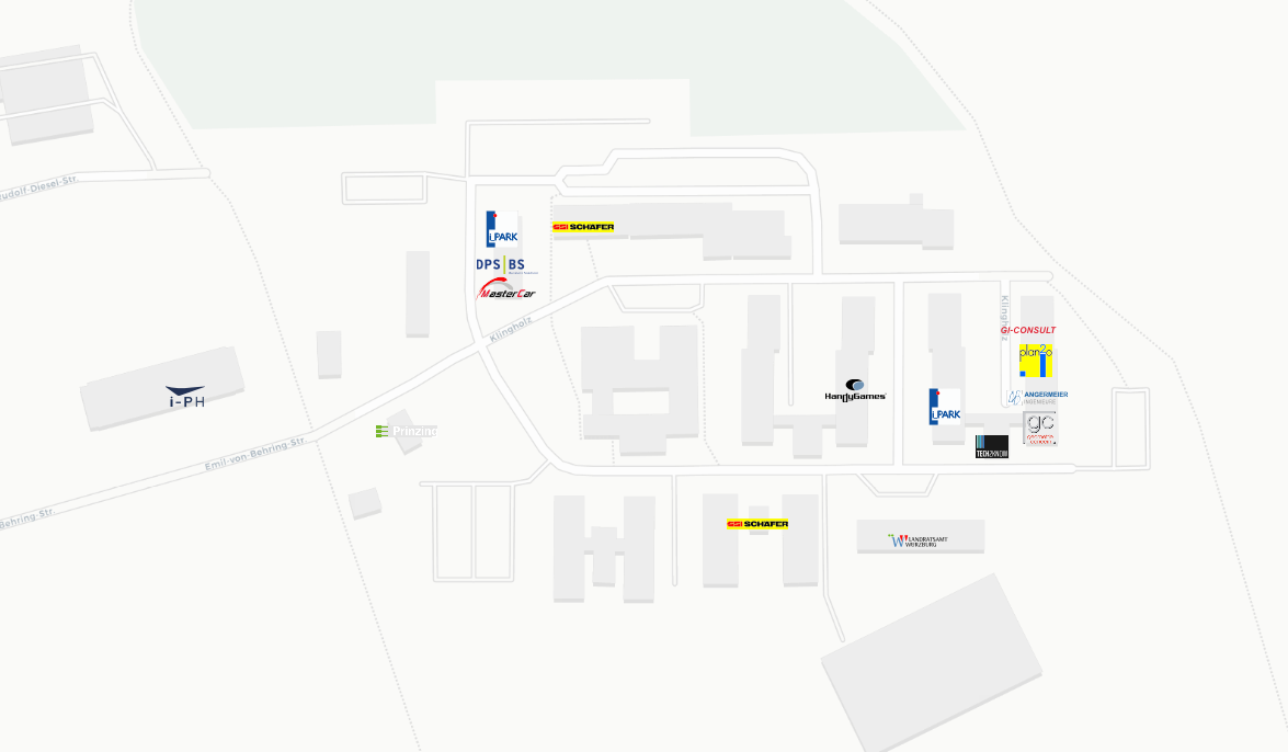
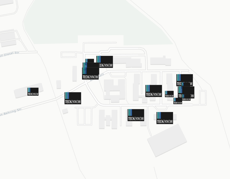
I have a question. I want to upload my map to an interactive map in QGIS using the "QGIS2WEB" plugin. My issue is that all the symbols appear the same in the interactive map. What do I need to do to display them differently?

-
How did you specify them in the QGIS style?– bugmenot123Commented Apr 15 at 7:58
-
they are SVG- Data which I made in Adobe Illustrator– Vivien MüllerCommented Apr 15 at 8:04
-
And how did you choose them in QGIS so that they are displayed for the different features? Rules? Overrides?– bugmenot123Commented Apr 15 at 9:54
1 Answer
Point your SVG adding their path in:
Settings->Options->System->SVG Path
(Then restart qgis)
In this way you'll find your SVG symbols as group in QGIS styler :
Layer properties > style > individual symbol > SVG marker. Scroll down and pick the SVG from the bottom right.
qgis2web will export the various svg icons and apply them.
If you are unable to use this method, edit your question including a link to your data, including svg
ps: some svgs taken from the web can cause problems

