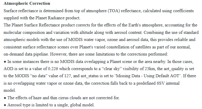
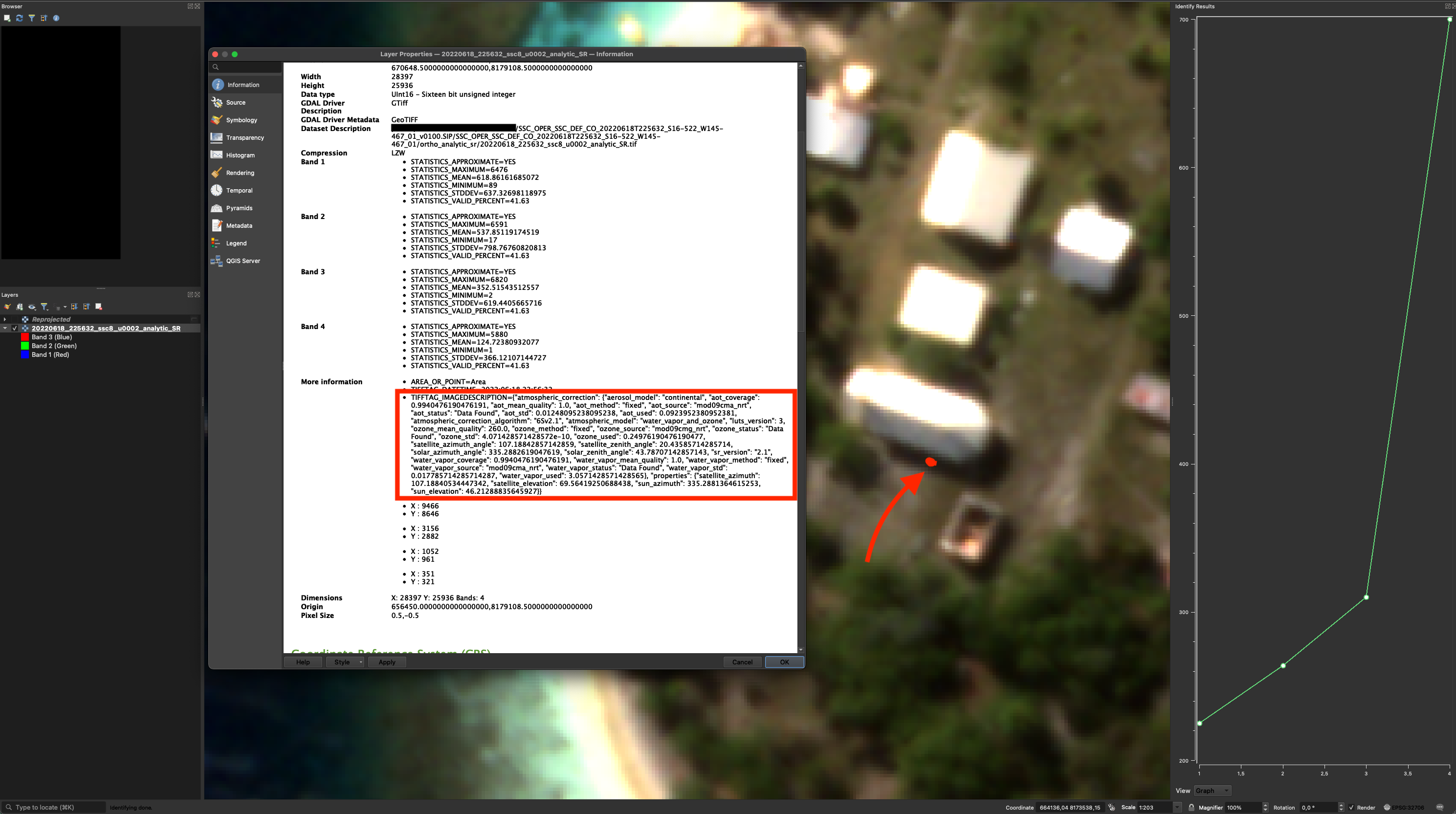
I have a skysat analytic_SR image. I did not get any .json file related to atmospheric correction parameters as they say. I can only get the Planet notes on planetscope for surface reflectance (see attached).
My concern is that shadow algorithms did not make sense when applied to the skysat analytic_surface reflectance (SR) image. The shadow signatures were strange i.e. they were supposed to have a strong blue hue, but this was not the case—so it appeared that the provided reflectance image had not been corrected correctly. The shadows are corrected when some other surface reflectance correction measure is applied, such as dark object subtraction on the provided reflectance image (Although SR products are presumed to be corrected for atmospheric defects). Has anyone else encountered such a problem with Skysat images? Why is it happening, and what is the way around?


