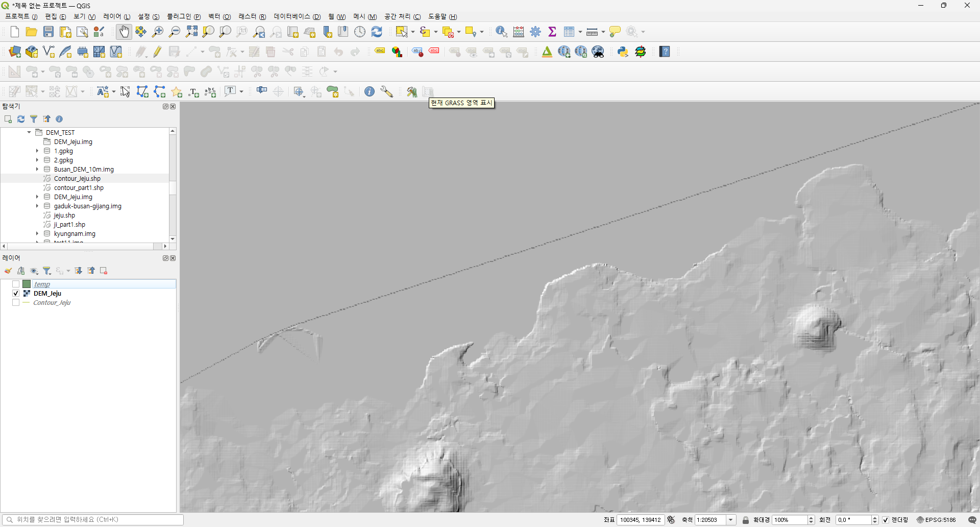
1

I'm GIS beginner and I'm trying to make a DEM with building's height.

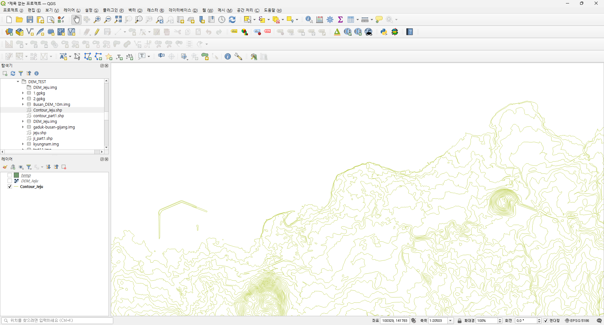
Step 1 > I get a countor shape file. enter image description here
Step 2 > Generate a DEM. enter image description here

Step 3 > I get a Buildings shape file. enter image description here
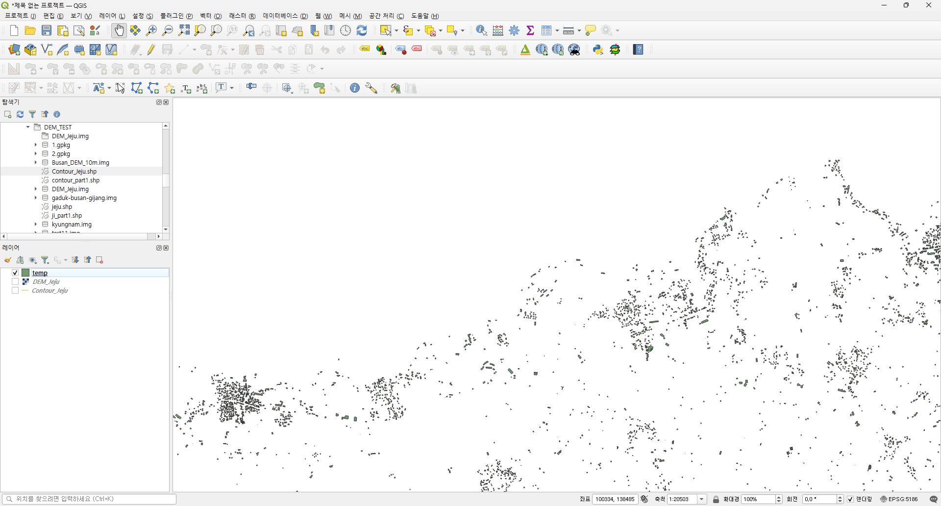
And then, how can I merge the DEM and Buildings shape?

Finally, I want to get a DEM which has countour and buildings height are merged.

5
  • This is not standard procedure, normally, the workflow is inverse: you have a DEM and extract contours. I'm not sure about your final task, please provide more information. Proper DEMs are created from measurement (e.g. with Lidar/Laser), not from vector data. This does not seem to make sense to me.
    – Babel
    Commented Aug 30 at 6:12
  • 2
    You can rasterize the buildings. If you have a heigh attribute for each building use it, otherwise you can set a fixed value for all rasters. Set the value to 0 where there isnt a building. Sum the output raster and the DEM
    – Bera
    Commented Aug 30 at 6:27
  • @Bera, Thanks, I rasterize the buildings shape, but the result is differ from my mind. How can I set the value to 0 where there isn't a buildings during rasterizing?
    – jhchoi
    Commented Aug 30 at 8:56
  • What tool do you use to rasterize
    – Bera
    Commented Aug 30 at 8:57
  • gis.stackexchange.com/questions/455612/…
    – Bera
    Commented Aug 30 at 11:23

0

Your Answer

By clicking “Post Your Answer”, you agree to our terms of service and acknowledge you have read our privacy policy.

Browse other questions tagged or ask your own question.