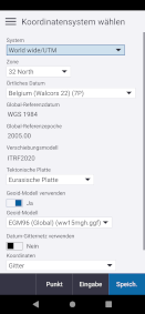
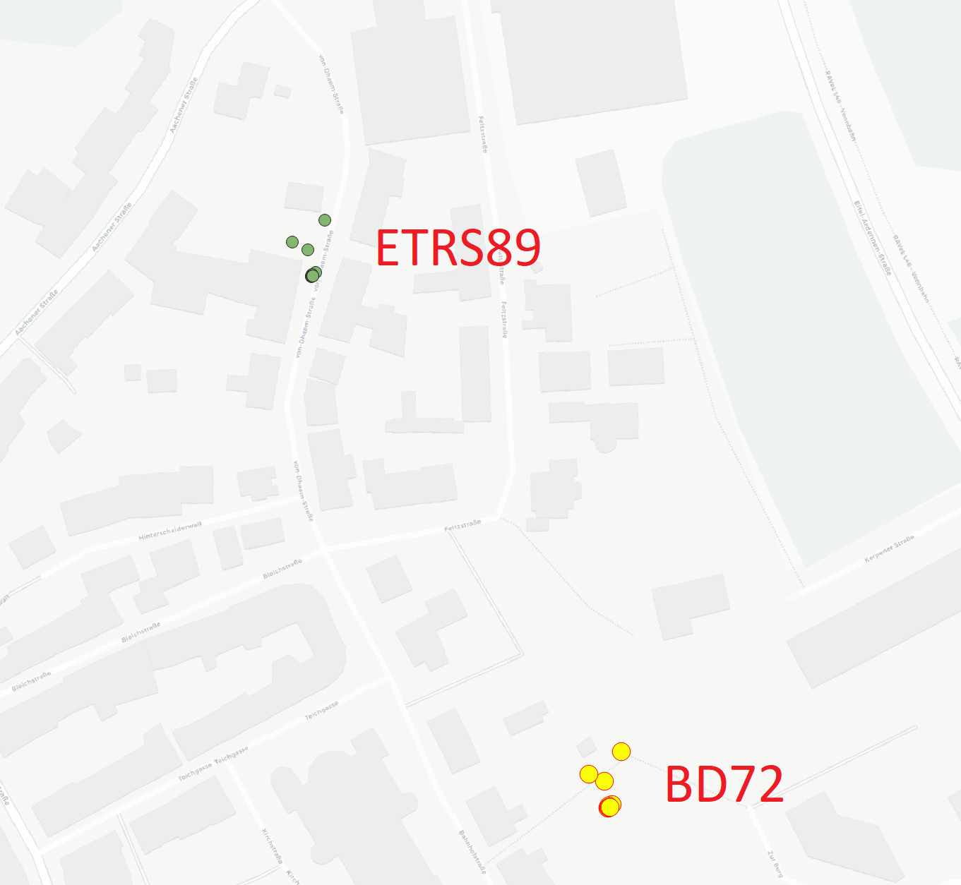
I'm trying to find the correct CRS in QGIS 3.34 for the GNSS points from our trimble device. The Trimble is set to World Wide/UTM Zone 32N projection ITRF2020 (EPSG:9989). Other settings please see first picture.
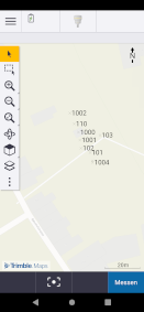
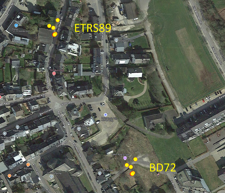
In the Trimble the points show NE of "Bahnstraße". Please see second picture. This is correct.
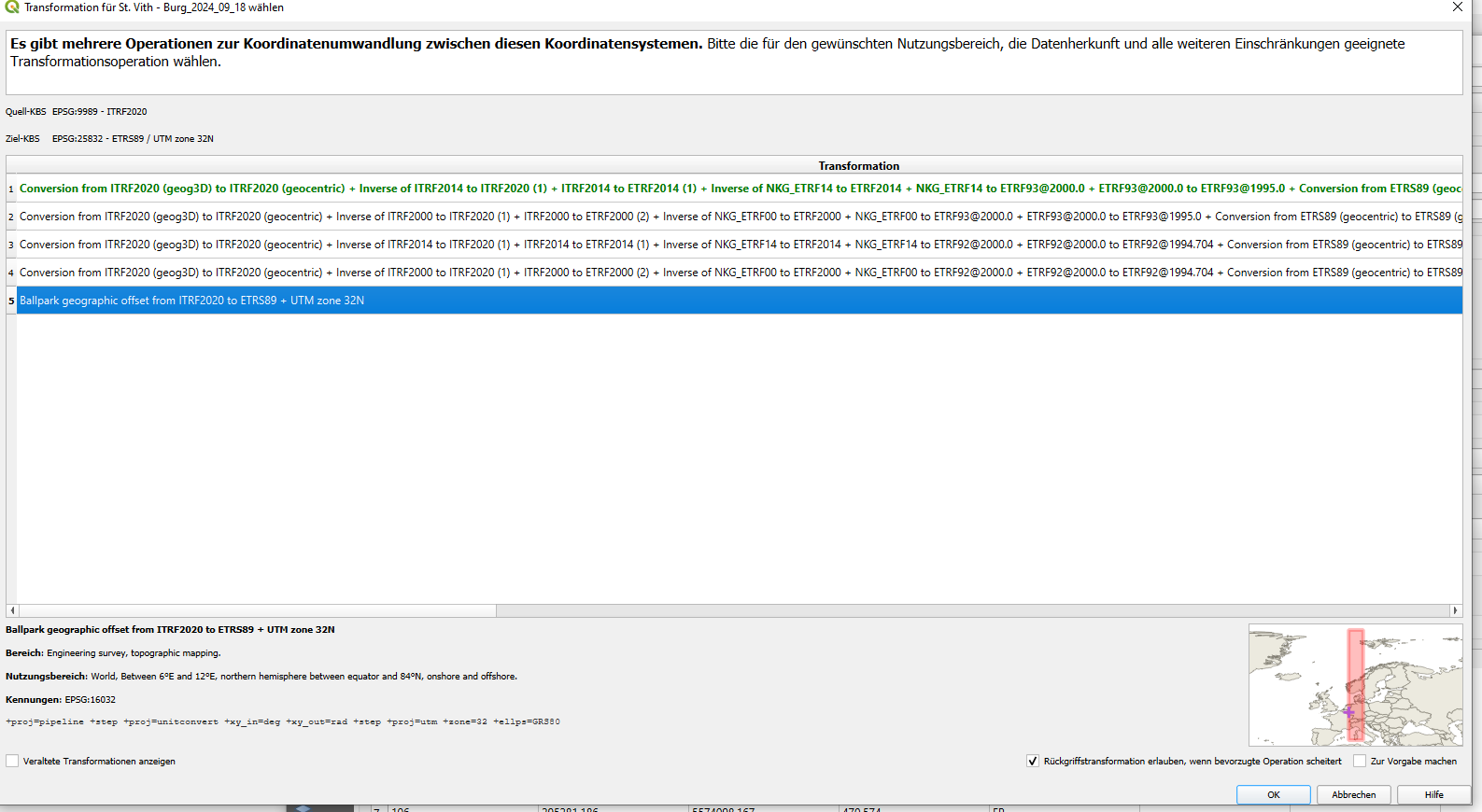
But when I load the CSV into the QGIS project (CRS ist set to ESPG:25832) and try to set the CRS to 9989, the transformation options will show only Norway, Denmark and the complete 32N area. We are in Belgium. But whichever conversion I try the point don't show and QGIS gives me a transformation error.
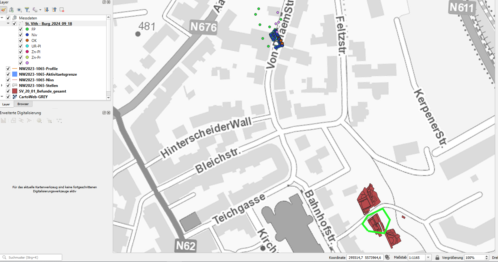
All other UTM based CRS I tried, put the points 120 to 1000 m NNW to NW or in one case 180 m W of the intended location.
Next thing I tried was starting a new project with ITRF2020 as project CRS and add in CSV and the WMS for Belgium. Didn't work either. Here I start with 621 million km diffrence between Map and points.
I suspect the settings through the correctional data from WALCORS created a customized dataset which will not automatically be projected right in QGIS.
How can I solve this?

