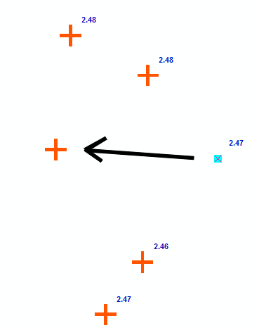
Cartographic representation in ArcMap is a nice way to temporary change geometry of features, so you can make adjustments just for map making.
In my mapping project I need to move some point features with representations and also, I need to automatically label them. It seems that labels are always positioned in relation to the original geometry, not where the representation was moved.

Is this how representations are supposed to work or is there a way to automatically label representations?
