19

Not all countries have the benefit of funding/technologies for developing GIS data stores. I'm looking for a list of common GIS data sources that should be investigated when trying to build a good basis for GIS analysis in developing nations (e.g road/river networks, DEMs, land use). Free or paid data.

My first stop is usually Glovis for Landsat coverage, but I often come up short on vector data.

For example, I would like to create a series of thematic maps for Nepal containing any and all GIS information I can get my hands on. Where would you begin?

Organizational sources could also be useful, even if their data is not available online. E.g contacting the government department in charge of water resources.

0

9 Answers 9

14

I recommend checking the http://freegisdata.rtwilson.com/ web site which contains a categorised list of links to over 300 sites providing freely available geographic datasets - all ready for loading into a GIS.

To get OSM data or Natural Earth, as Ryan suggested, I recommend checking the http://market.weogeo.com

Another excellent resource with huge amount of datasets from global to local is: The UK open source for your free geodata. An example of search is here.

1
  • 1
    I am accepting this answer because the first link contains links to most of the other data sources mentioned. If someone happens to be looking for Nepal-specific data later I recommend ICIMOD (icimod.org). Thanks to everyone.
    – Radar
    Commented Jun 19, 2013 at 15:45
13

I think you will find that the Natural Earth dataset and OpenStreetMap will give you a good start for worldwide base data, in addition to simply searching for questions with the tag here on our site.

8

DIVA-GIS has a handy download by country tool which draws from GADM, Digital Chart of the World, CGIAR SRTM, GLC2000, CIESIN, WorldClim, and NIMA. You can download the following by country:

  • Administrative Areas
  • Inland Waters
  • Roads
  • Railroads
  • Elevation
  • Land Cover
  • Population
  • Gazetteer

Additionally, Penn Libraries has a good collection of international GIS links including the following categories:

  • Boundaries and Location
  • Elevation and Environmental
  • Biota
  • Society, Economy
  • Health
  • Transportation
  • Climate, Atmosphere
  • Farming
  • Water
5

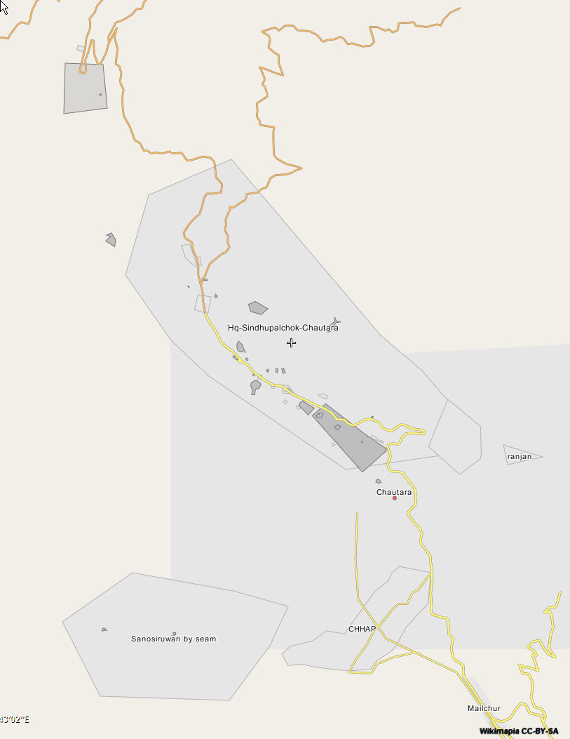
Wikimapia is worth checking within developing countries if you have a particular site.

It is a community mapping project that focuses on creating a geographically-referenced wiki system.

  • It shows what is actually on the ground and gives local names. This is a good starting point for improving understanding of aerial imagery.
  • Sites are often included in Wikimapia that are ignored by traditional topographic mapping. This location in Libya is a good example that includes military assets.
  • The quality, coverage, and currency are extremely variable so the data should be treated with caution.
  • The only way to export data is using an API.

enter image description here

4

Just a quick google search and this guy might be of some help

See if there are any grassroots organizations that would have GIS or spatial data, like a conservation authority.

If there is no existing vector data, but you have an aerial you could always digitize it yourself!

4

Have a look at these web sites:

4

I would check the website and contact ICIMOD (International Centre for Integrated Mountain Development (Nepal), http://www.icimod.org/ , top right: "Information Resources"). They are very GIS oriented and are specialised in the region.

1
  • I came across this site recently - they actually have crowd-sourced 2010 land cover for Nepal along with about 20 other data sets available as shapefiles. It's probably the best source I have found for the region so far.
    – Radar
    Commented Jun 19, 2013 at 15:41
3

I think many of the above resources are great. If you want to add some very detailed DTM/hillshade layers to your maps I would suggest: SRTM 90m Digital Elevation Data.

For an idea on how to efficiently download the data (via wget), you can have a look at point 2 of the following readme.

As for downloading Open Street Map data, I think Planet.osm is the best starting point.

2
  • SRTM & ASTER DEM are not very reliable in heavy mountainous terrain like Nepal. Commented Jun 19, 2013 at 10:13
  • You might well be right on this point, but still I am not aware of better free resources. I would say that its usability depends on what you are trying to achieve. As an example, this is a screen-shot of a layer I have created with OSM data plus SRTM. It is not perfect, but still acceptable at this scale... I think.
    – Decio
    Commented Jun 19, 2013 at 20:41
2

You can get digital topographical maps of Nepal from Survey Department, Minbhawan, Kathmandu in 1:25000 scale. It contains a lot of vector data. But it will cost you around 10$ per sheet.

Not the answer you're looking for? Browse other questions tagged or ask your own question.