I'm new to this.
Can I change from the Nigeria Mid Belt system to the Nigeria West Belt system easily, or do I need to recreate my project?
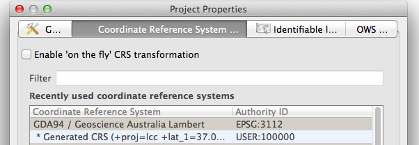
If you are using QGIS it has 'on the fly' CRS (co-ordinate reference system) transformation so you can switch between any projection supported. I find it really great when I use a local projection then want to overlay with openlayers plugin to show google maps.
