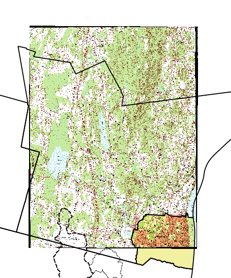
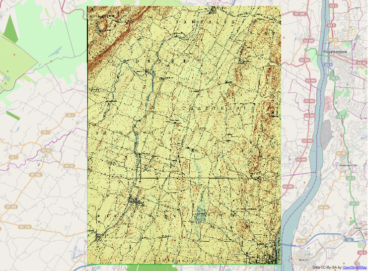
I got some great advice on how to transform a geoPDF to a geoTIF at Historical U.S.G.S. Georeferencing, which used the available downloads from this site. I would like to take it a little further and not only convert, but remove the border of historical USGS maps in order to be able to tile them in QGIS. Being a basic GIS user, I get lost in the "coding" involved to implement these practices.
How can I convert and crop historical USGS maps so they can be tiled in QGIS?
I am attempting to do this again, it has been a while. I made it through the steps and I get a cropped quad that has back areas along the edges. I don't believe this happened when I did this in the past.


