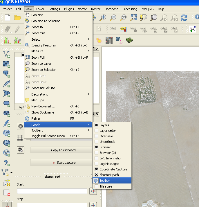
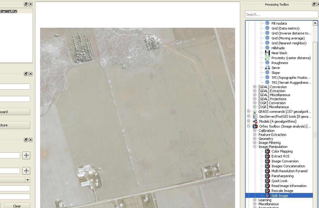
I'm looking for a way to cut a larger number of neighboring aerial raster images (each sized 1x1 km, resolution 10 cm per pxel) into four smaller raster images (size 500 x 500 m). I haven't done this before, is there a (preferably QGIS-based) way to do this (semi-)automatically?
I don't need any "slippy map"-like tiles - this is only necessary because my colleagues use a rather exotic and antique CAD software that can't handle larger image sizes... (and our state geodata department doesn't sell smaller custom sized tiles any more)
Thanks a lot!


