2

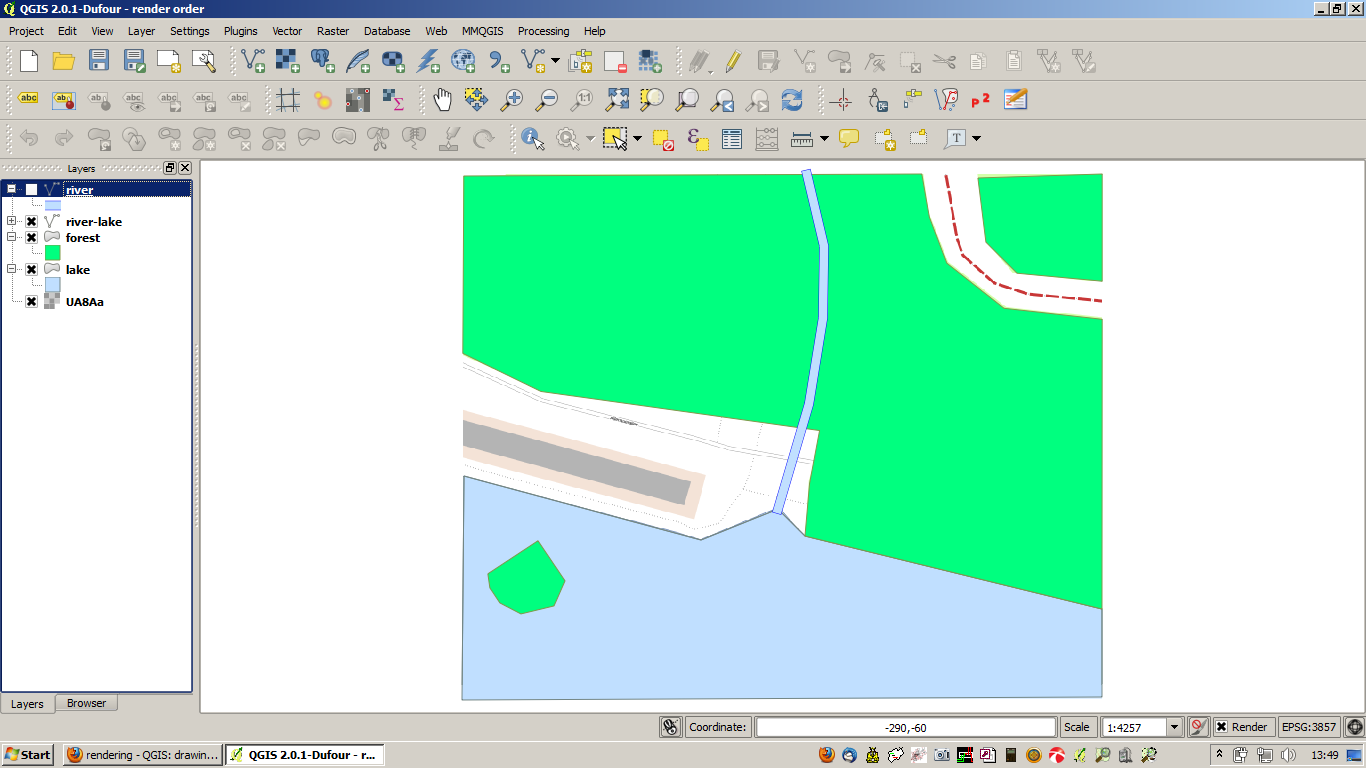
I have 2 layers. One with forests and lakes (polygon) and one with rivers (line). Now I want the features to draw in that order:

The river have to be UNDER the LAKES and the forest have to be UNDER the river and OVER the lakes. Tricky?

Because I have to export as vector-pdf, I can not use the feature blending modes. (or is there a hidden way to export blending modes to vector? I need the borderlines of the lake and the river. I can not physically change the layers.
enter image description here

...or is there a other way to draw the river flow into the lake?

2 Answers 2

2

I suggest to add the polygon data twice, one filtered for the lakes and one filtered for the forests. Then you can arrange the three layers in the order you want.

If you want to specify the rendering order within one layer, Rightclick on the layer -> Properties, Style tab, Advanced Icon -> Symbol levels. there you can define the order of all categorized symbols.


EDIT

second try:

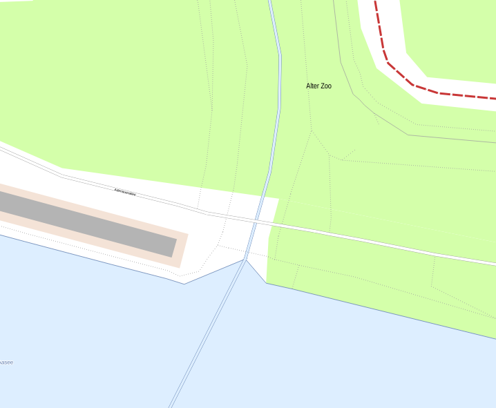
Create a Difference layer from river - lake with Vector -> Geoprocessing Tools -> Difference, and put only that on top:

enter image description here

You could as well subtract the islands from the lake, and use my first attempt.

1
  • Thanks so far but if I do so, the water will be OVER the forests. Bad for islands for instance.
    – MartinMap
    Commented Feb 28, 2014 at 12:34
0

Very tricky with all the constraints (if you cannot modify the geometry). But you could use a line symbol without border and it will be nearly unnoticed.

Your Answer

By clicking “Post Your Answer”, you agree to our terms of service and acknowledge you have read our privacy policy.

Not the answer you're looking for? Browse other questions tagged or ask your own question.