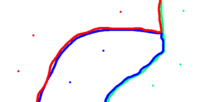
I am looking of a way to display different point data as a raster - each point will have a z value.. and i want the raster to be based upon these values (please see my terrible drawing!). I think that using Zonal Geometry is the way to do this - but the problem is that i need each value to be weighted differently. E.g. if the z value of a point is -24, and the z value of the next point is -20, then the area around the -24 point should be larger than the area around the -20 point based on some rules i have been given.
Is this something i will have to try and script? Or is there a way of doing it within the GIS? I am running ArcMap 9.3.1. and would definately rather avoid scripting!

