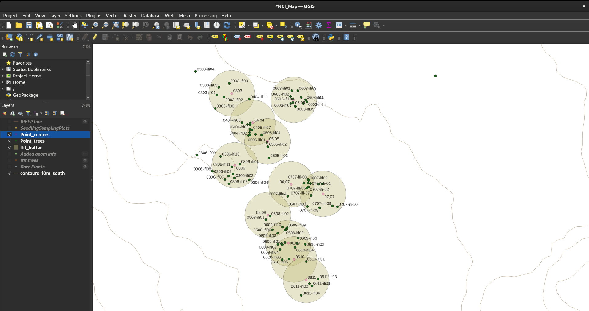
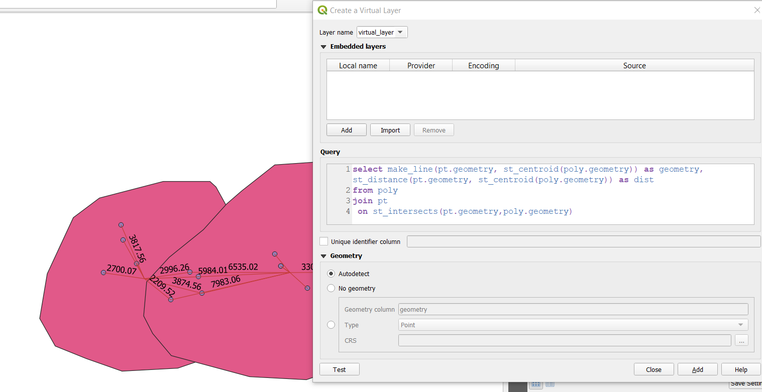
To calculate the distances in a table:
First ensure that your buffers layer and trees layer have a field with a unique identifier. I used tree_id and buffer_id.
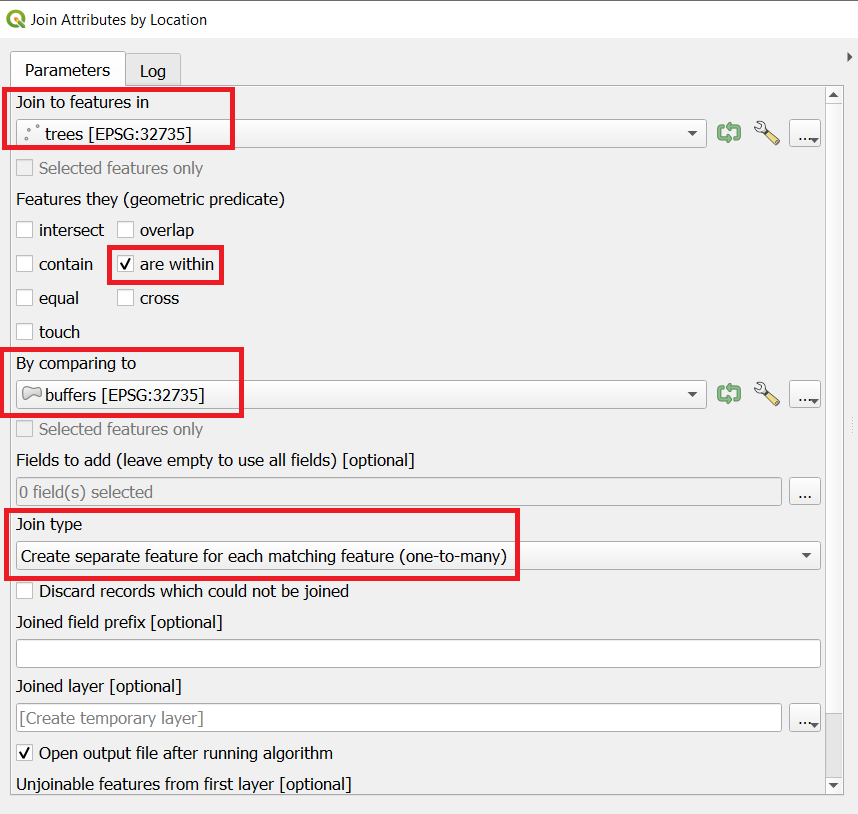
Perform a spatial join between the trees and the buffers using a one-to-many join type. This will give you a new points layer where points are duplicated when they are within more than one buffer.
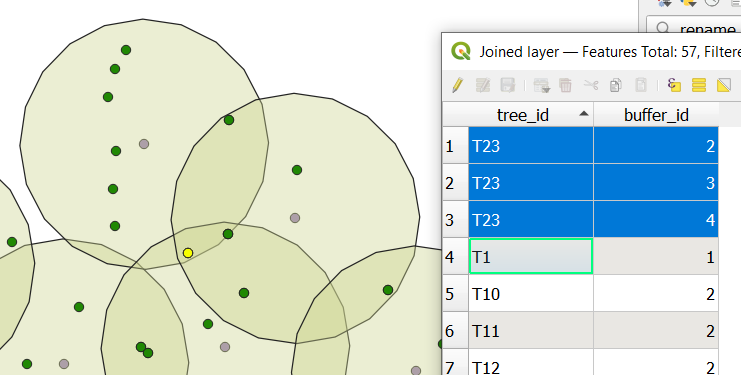
Tree T23 now appears 3 times, in buffers 2, 3, and 4.
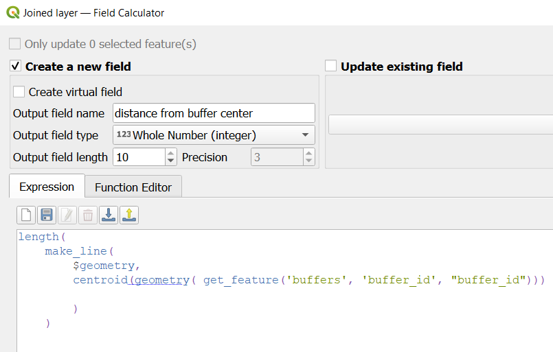
- Then use this expression in the Field Calculator on the joined layer:
length(
    make_line(
        $geometry,
        centroid(geometry(get_feature(                  -- get the centroid of the buffer that matches the buffer_id of the joined point.
                              layer:='buffers',
                              attribute:='buffer_id',   -- 'buffer_id' in single quotes is the field name
                              value:="buffer_id")))     -- "buffer_id" in double quotes is the field value of the current joined point


    )
)
Now each tree point has a distance to its corresonding buffer centroid:
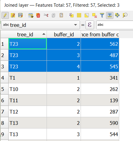
Example:
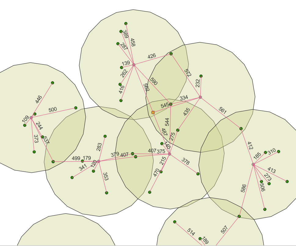
(The lines are for visualisation purposes only)

