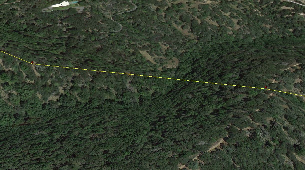
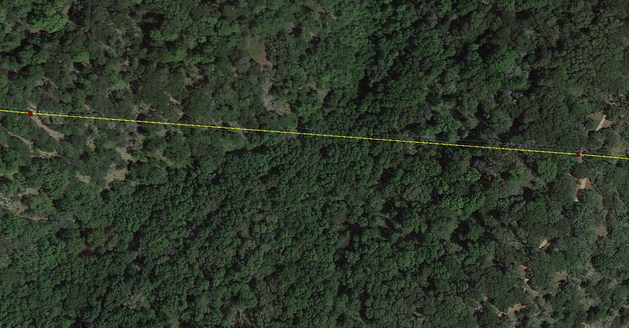
When QCing power infrastructure I am having to zoom into every gap and check to make sure the line makes sense (not going through the mountain). I typically check for odd spacing between the pylons and zoom into the imagery. What I want to accomplish is have some tool identify where the 'line of sight' would intersect with the DTED_Level_2. Is there a tool in ArcMap 10.1 that can accomplish this? I have 3D Analyst installed.

-
Do your point data have attributes associated with elevation? Thanks.– Aaron ♦Commented Jul 12, 2013 at 19:56
-
There is no Z value associated with the points. They're just on the DTED. I tried splitting all of the lines on every vertex then running the line of sight tool, but the results were inconsistent.– MjonesGEOCommented Jul 12, 2013 at 20:04
-
1You'd be able to do it with a little bit of scripting/modelbuildering, but first "construct line of sight" between the points (once you give them z values) will ensure that the line of sight tool is using line data that has elevation information. Unfortunately, I've generally gotten inconsistent results with the LoS stuff as well.– EricaCommented Nov 20, 2013 at 16:16
Add a comment
|
1 Answer
Are all of your pylons (points) the same height? If so you should set the base height of your points to be from the dted. Then you can extrude the points to a set height (say 90'). If you already have a line then just set the base height to be floating from the dted at the height of the pylon. Lastly you could actually copy the line vertically to a set height using edit 3d
