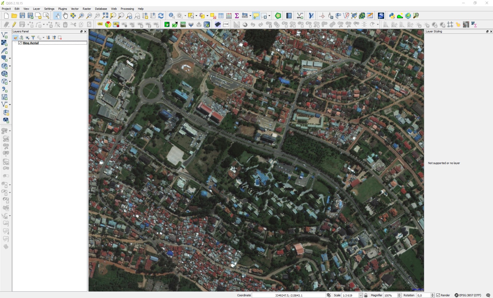
Could someone tell me if it is possible to save a plugin open layers display as georeferenced image in QGIS 2.18?
1 Answer
First you have to set up the map view exactly as you want the georeferenced image to look. If there are other layers turned on then those will be on the final image too, so turn them all off beforehand.
OpenLayers and QuickMapServices both default to CRS epsg:3857 so to be safe you should reproject your project to that too while you create the image(s).
Next go to:
Project > Save As Image (QGIS 2.x)
or
Project > Import/Export > Export Map To Image (QGIS 3.x)
Now you can drop that saved image into QGIS like any other raster, if it asks for a CRS then it's whatever your project CRS was when you saved it, epsg:3857 if you did what I said above.
EDIT: Just be aware that the image is saved "as is", meaning it isn't tiled and the resolution will be exactly what is displayed on your screen. It won't scale like OpenLayers does when you zoom in. For greater detail you'll have to save a series of your own 'tiles' by zooming in and panning for each image.

