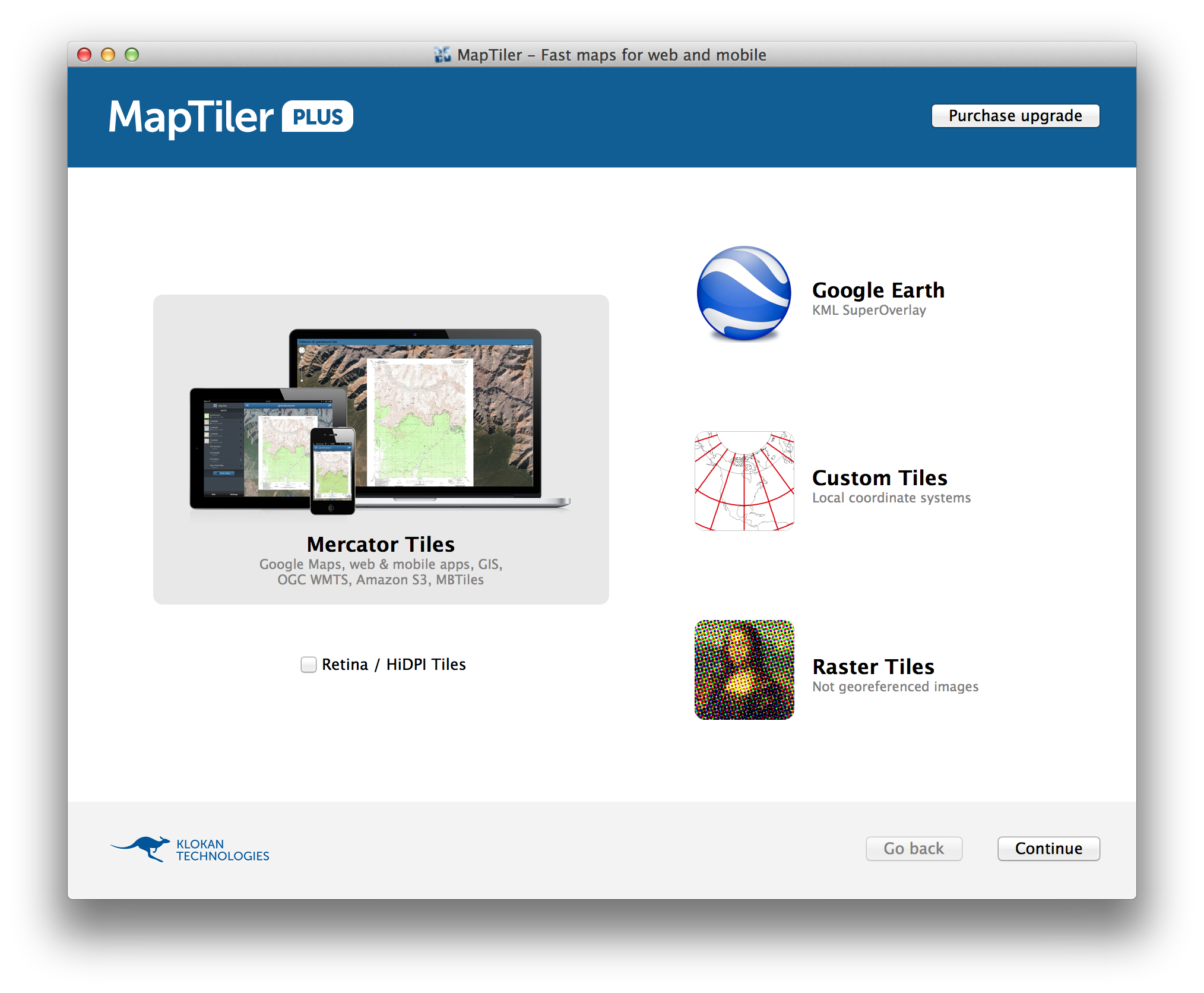
If you render raster data into map tiles you have to choose whether you want to create a Google Earth tiles (in Plate Carree) for displaying in KML/KMZ or Google Maps tiles (Mercator) for displaying in the web viewers such as OpenLayers, Google Maps, Leaflet, etc.
These uses two different map projections. Cartographically correct solution is to render two different tile sets with MapTiler (http://www.maptiler.com/) and host these separately.
In the MapTiler in the first screen you can make this choice, either "Mercator tiles" or "Google Earth".

I would recommend to go for two different datasets.
Technically, a hack which would display the Mercator tiles in Google Earth could be done as well - this could run for the deep-zoomed viewes - but if your data covers large regions (countries,states,continents) the differences between the map projections would already be visible as a north-south shift while zooming. See my documentation and source code in python at http://www.maptiler.org/google-maps-coordinates-tile-bounds-projection/ if you are into this approach. Still this is a hack and proper solution is mentioned above - with two distinct tilesets.

