I'm trying to use QGIS (2.6.1-Brighton) to aggregate polygons according to an ID attribute.
I'm using the shapefile of school district polygons in Michigan found here:
http://www.mcgi.state.mi.us/mgdl/?rel=ext&action=sext
MI Geographic Framework School Districts (v14a) is the name of the shapefile I'm working with.
I'm trying to create a shapefile of Intermediate School Districts, which in Michigan are a level of aggregation above school districts.
I should be able to do this using the dissolve tool, as there is an ID variable in the v14a shapefile (called ISD).
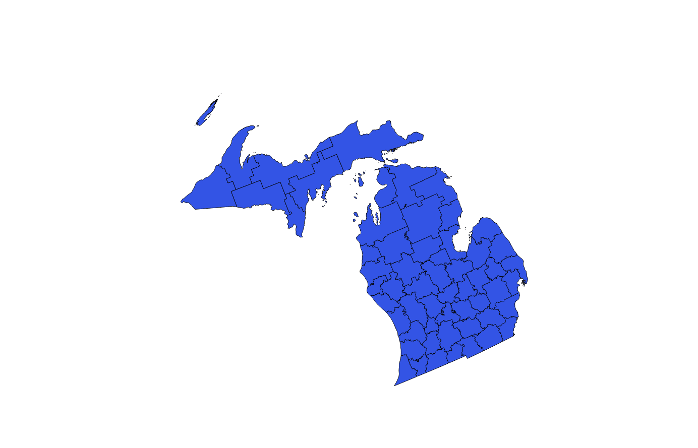
However, upon doing so, the resulting polygon layer appears to have been re-projected and rotated.
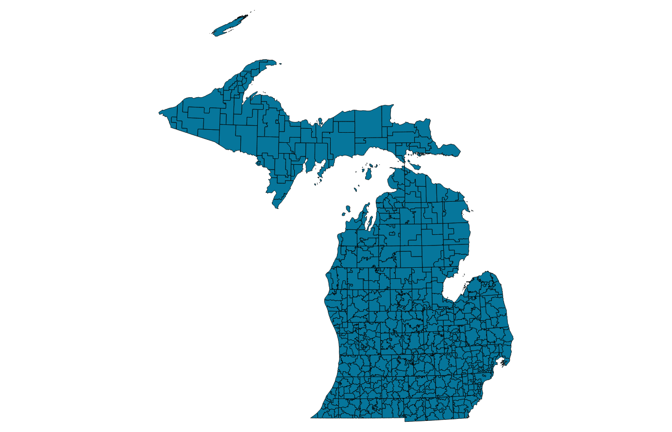
Here's the input polygons:

The CRS of this layer is strange, but here's the definition:
+proj=omerc +lat_0=45.30916666666666 +lonc=-86 +alpha=337.25556
+k=0.9996 +x_0=2546731.496 +y_0=-4354009.816 +no_uoff +ellps=GRS80
+towgs84=0,0,0,0,0,0,0 +units=m +no_defs
And here's the result of the dissolve:

With CRS:
+proj=omerc +lat_0=45.30916666666666 +lonc=-86 +alpha=337.25556
+k=0.9996 +x_0=2546731.496 +y_0=-4354009.816 +gamma=0 +ellps=GRS80
+towgs84=0,0,0,0,0,0,0 +units=m +no_defs
Any idea what's going on here?
