I am working with 2 datasets:
- delineations of the neighbourhoods
- traffic network.
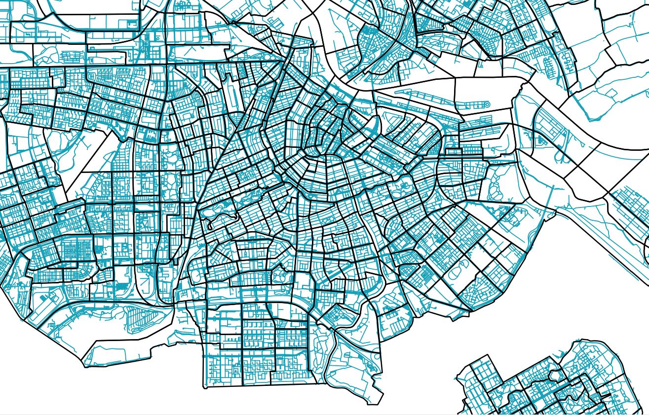
This is how they look:
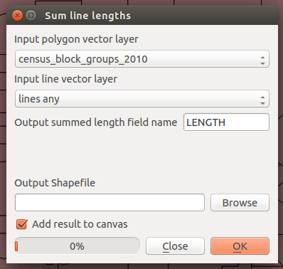
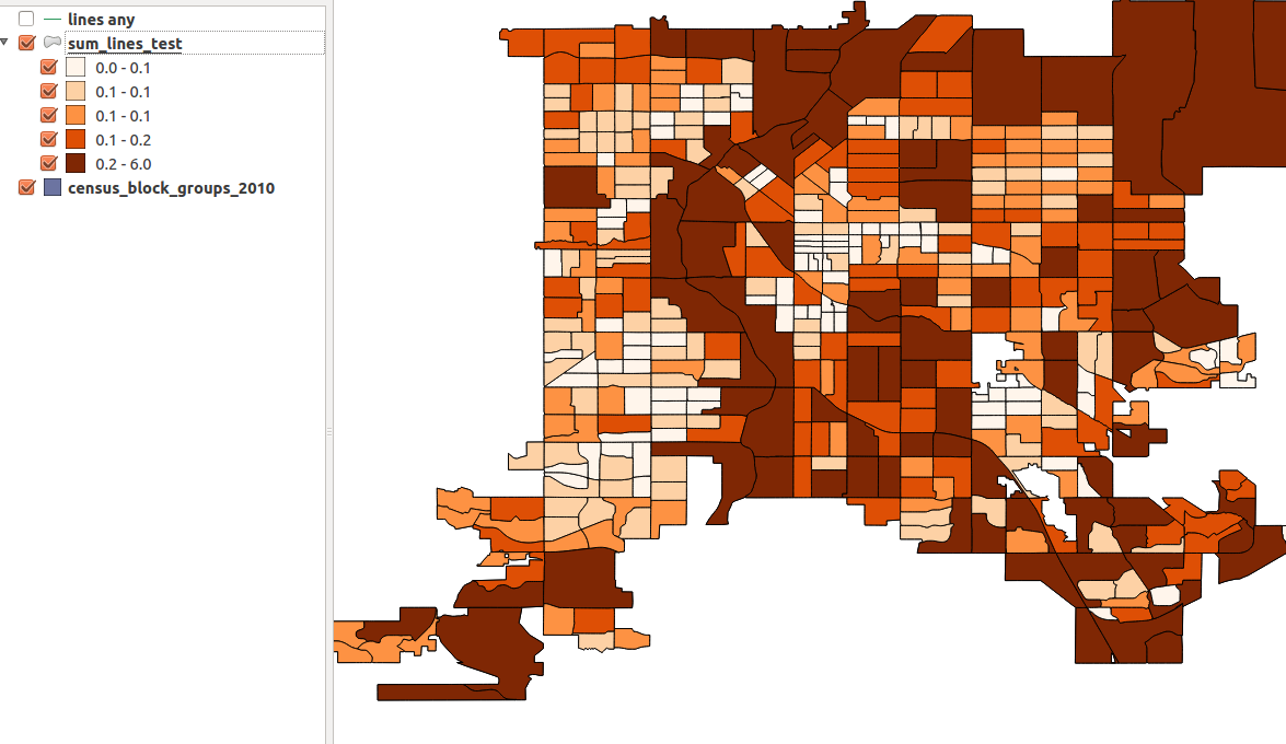
I would like to calculate the length of the roads per neighbourhood (polygon). As you may expect some of the roads are in more than one neighbourhood so what I have to do first is "cutting" them at point where they are crossing with polygon boundaries. I have tried to use intersect tool but it did not work. I always got empty file as an output. The projection I am using is RD New (for both files) so it should work. Any ideas how can I achieve my goal?
When I have roads cut I would calculate the length of every line and afterwards sum these lengths up per neighbourhood. Is it a good way to do it?


