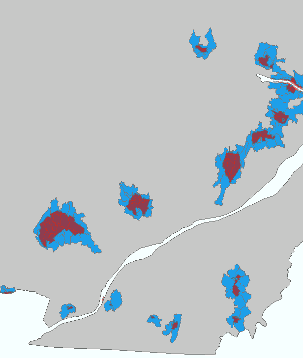
I would like for the watershed (blue) attribute table of this map to have a column that indicates what protected area (red) it overlaps with. (As you can see, multiple watersheds touch each protected area). I have searched around and am unable to figure out how to do this using ArcMap 10.1. Any suggestions or links to solutions would be awesome!
1 Answer
You can run a Spatial Join to create a new feature class with a combination of attributes and geometry from your original layers. Select your destination geometry, and the attributes you want to join to it from the input layers.

