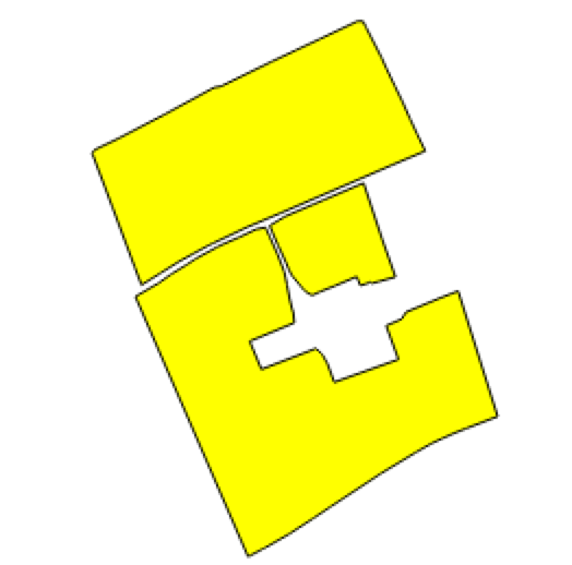
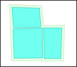
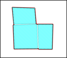
I want to merge adjacent single polygons which are apart from each other.
Important note: I cannot use ArcGIS, I need to do this programatically, in any language (R, Python, Ruby, PostGIS) doesn't really matter which it is, it can be a combination of a scripting or compiled code and/or command line tools.
So far I have tried using Turf.js methods convex (hull) and union. Union doesn't grow/shrink the edges to to complete with the neighbouring polygon, but it rather just creates a a geometry collection of all the polygons processed as a single feature. The convex hull creates a single polygon but ignores the inner points, just the farthest and gives a wrong final shape. I've tried using the Eliminate Sliver Polygons... in the QGIS Vector>Geoprocessing Tools menu but the operation fails with a Python error: **
global name 'QErrorMessage' is not defined Traceback (most recent call last): File "/usr/local/Cellar/qgis-214/2.14.1/QGIS.app/Contents/Resources/python/plugins/fTools/tools/doEliminate.py", line 96, in accept self.eliminate(inLayer, boundary, self.progressBar, outFileName) File "/usr/local/Cellar/qgis-214/2.14.1/QGIS.app/Contents/Resources/python/plugins/fTools/tools/doEliminate.py", line 236, in eliminate QErrorMessage(self).showMessage( NameError: global name 'QErrorMessage' is not defined
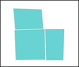
3 Adjacent polygons that are suppose to be merged into a single one:
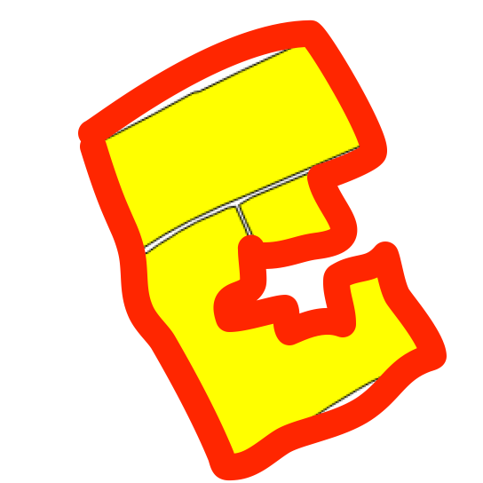
Desired resulting single polygon shape The expected border is drawn with a red contour.

