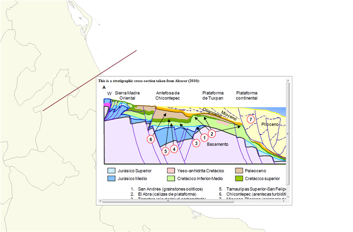
I am trying to set up a GIS database in QGIS (2.16.1) containing some geological information. I've created a shapefile (polylines) and added a map-tip to it which displays a cross-section related to the respective line (see image).
This works well as long as I use absolute paths in the attribute table of the shapefile, linking to the location of the cross-section.
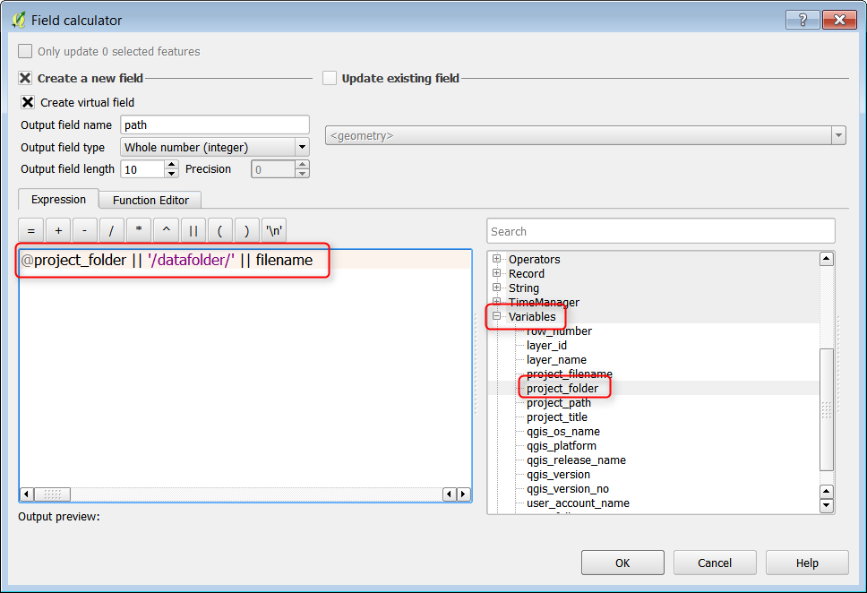
BUT I would like to use relative paths because there is a chance that the folder containing the QGIS file, the shapefiles and the cross-sections will be copied to a different location.
I have tried but did not succeed and google and the search here did not help me. Can someone help me with that?
One more thing: Is there a possibility to re-size the map tip according to the size of the images? I know there is a way to set a fixed size but the cross-sections I am displaying have different sizes each time.
I am relatively new to QGIS and Python.


