I'm wondering if it is possible to do pattern recognition with QGIS. I have 5 NDVI Landsat images and I try to find areas automatically (constant pattern). Is there a tool in QGIS?
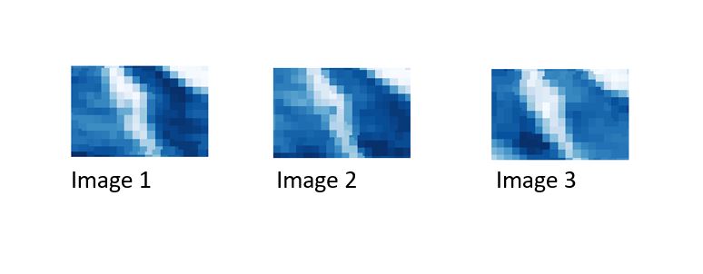
The pic below shows three different raster layers from different years. You can recognize typical areas (e.g. bright or dark blue pattern) which I want to identify automatically. 
